Dry Canyon Recent Photos
All of these photos were taken by me in September of 2010.
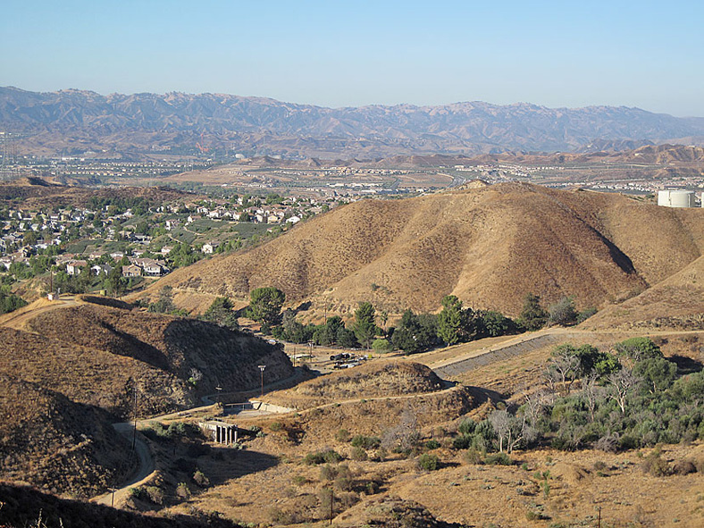
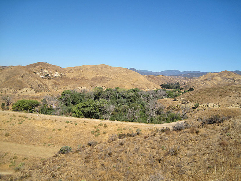
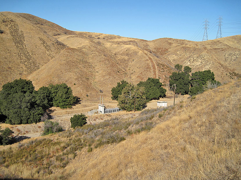
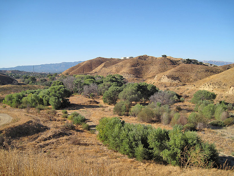
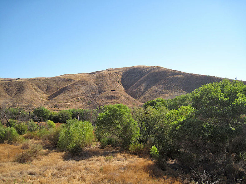
Looking southwest at the dam and reservoir site
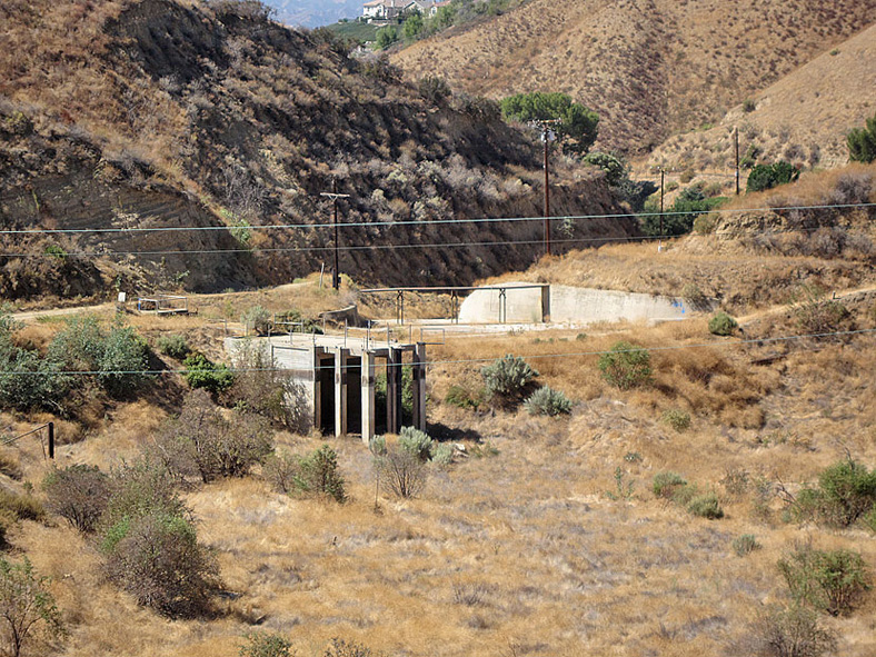
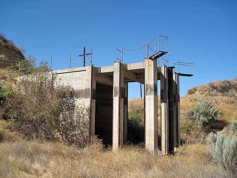
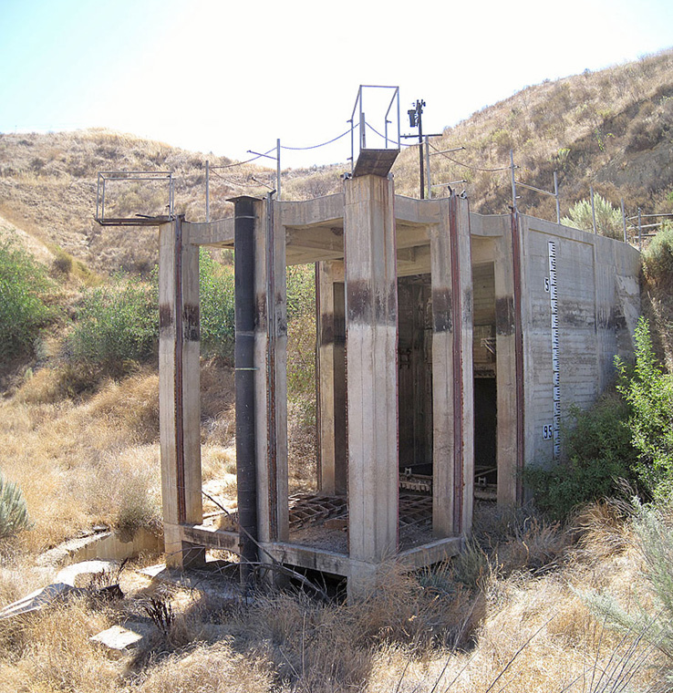
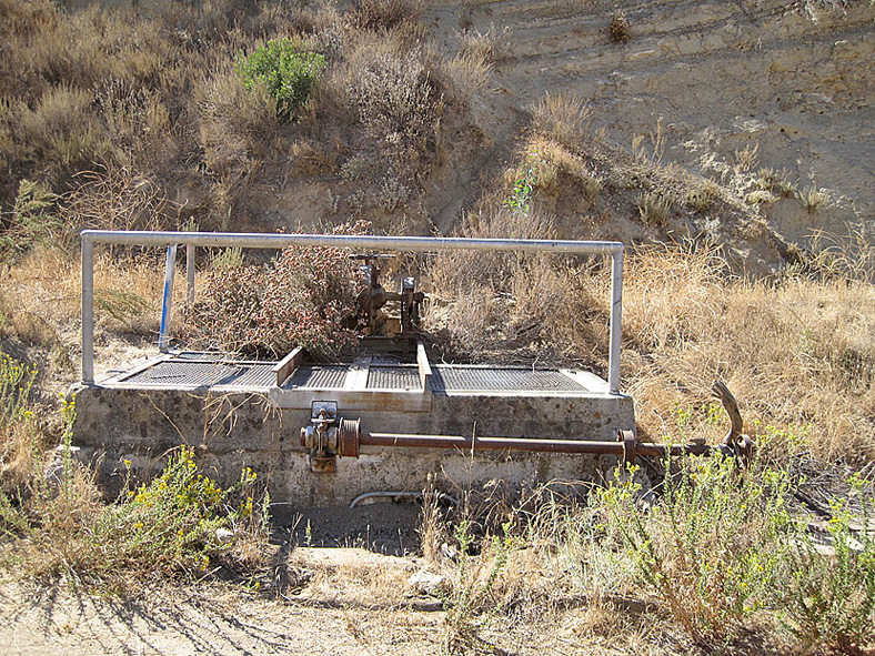
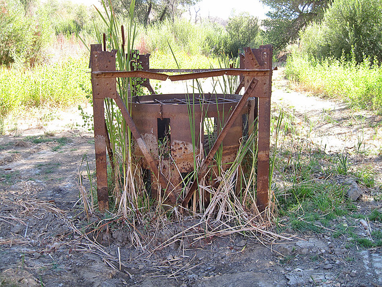
Looking at the dam site from a little closer. The structure in the center left is all that remains of the dam water outlet.
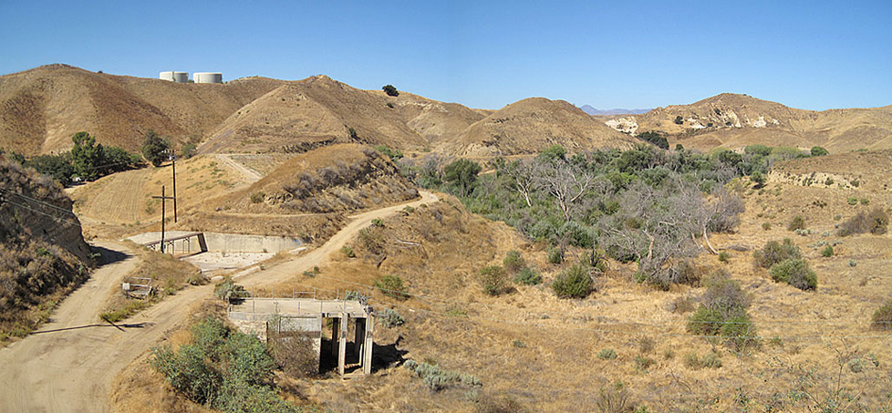
Looking at the outlet structure, the spillway, the actual dam in the distance, and the reservoir site on the right (north)
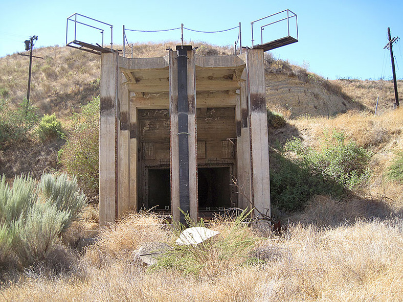
Looking at the outlet and spillway
The spillway from the other direction. Water flowed out the spillway when the reservoir water level became too high.
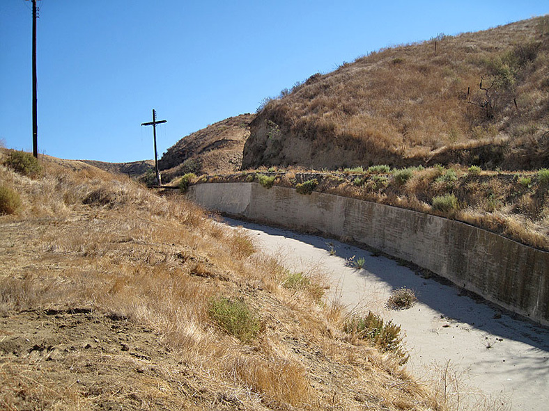
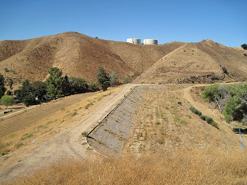
Looking west down the spillway toward Dry Canyon
From the top of the dam looking south down Dry Canyon. The end of the spillway is at the left.
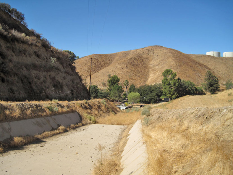
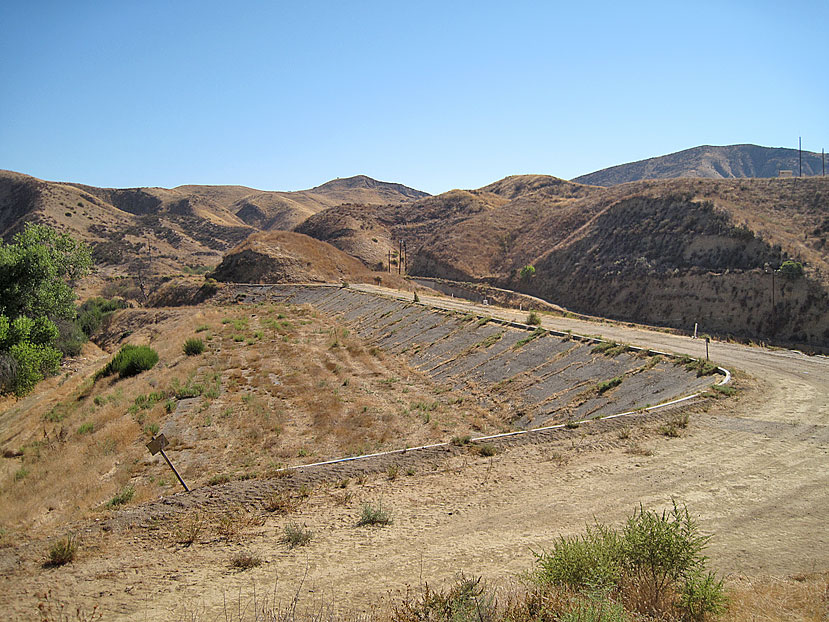
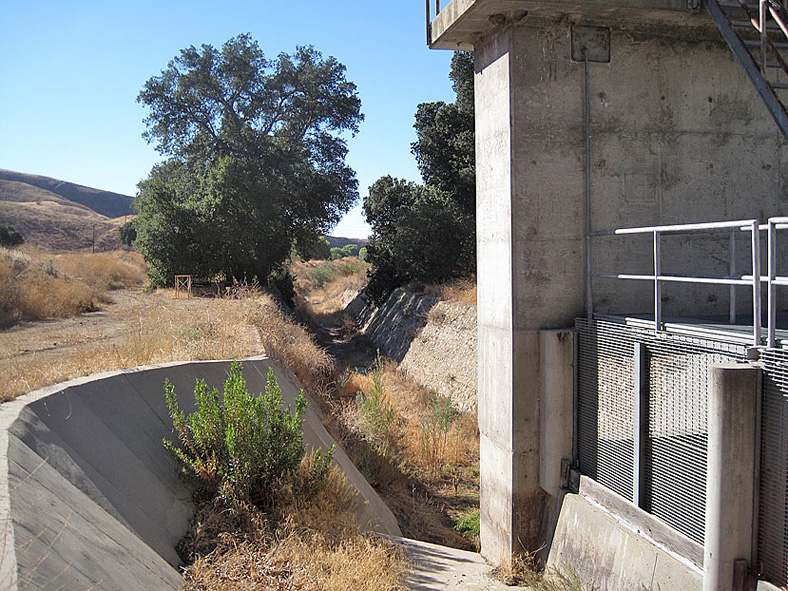
Dry Canyon creek below the dam site. It will be narrowed just past here.
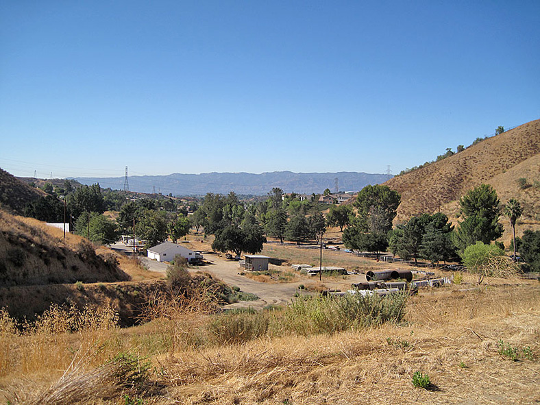
Dry Canyon creek. It runs into Bouquet Canyon creek just behind OSH on Bouquet Canyon Road.
Back at the dam site. West view.
East view. Originally, the dam face angled straight down but after the 1952 Kern County quake, all this extra earth was added.
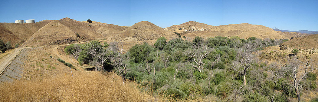
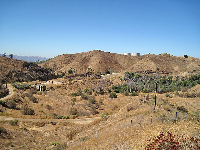
Wider view from the dam toward the north where the reservoir was
View toward the north from above the dam. Much of the lower reservoir site area is covered with plant life.
Looking south back at the dam
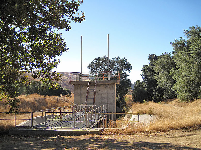
Looking at the east side of the outlet structure
Straight-on view
Looking at the west side
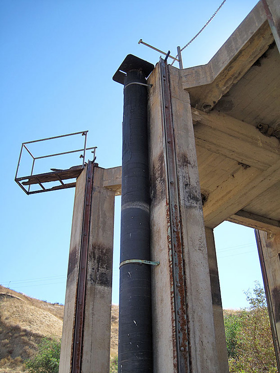
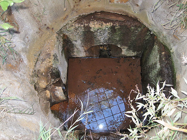
Closer look at the pipe in the middle. This must have been the center of the tank that floated on the water here.
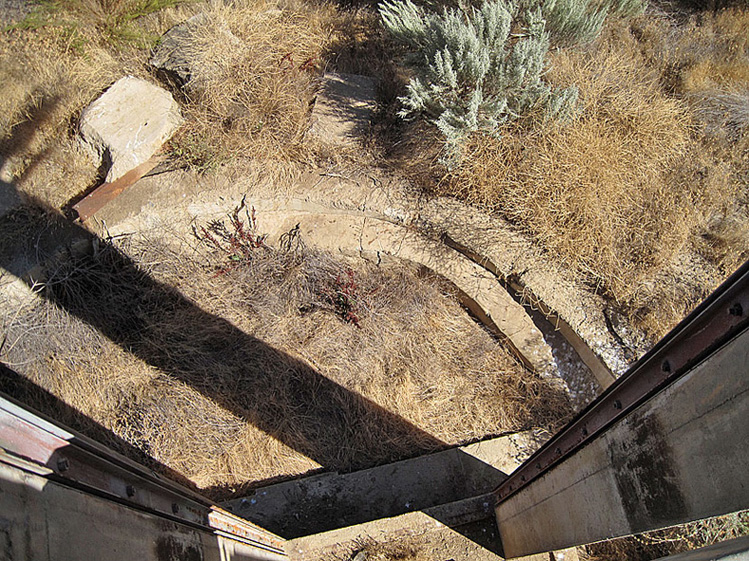
Looking down at the circular area where the tank was
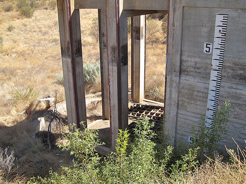
West side of outlet structure showing a large measuring stick
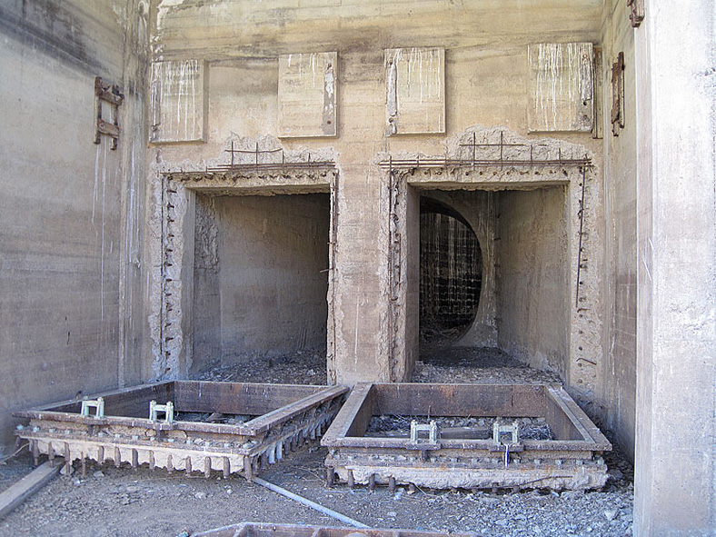
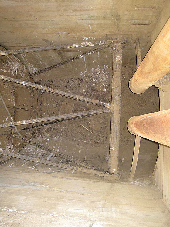
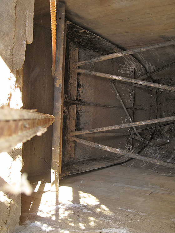
Inside the outlet structure the frames for the gates that controlled the flow of water are still here
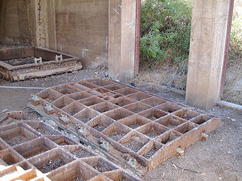
The gates are still here, too
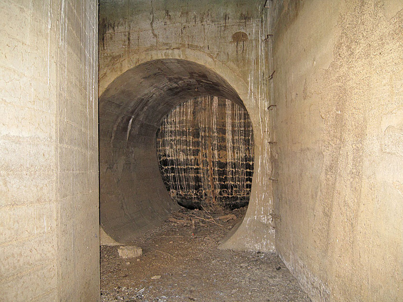
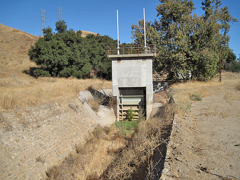
When the gates were opened, water flowed out here, the start of Tunnel 78, back into the aqueduct. The aqueduct is now sealed and flows through an underground pipe east of the dam site bypassing the reservoir.
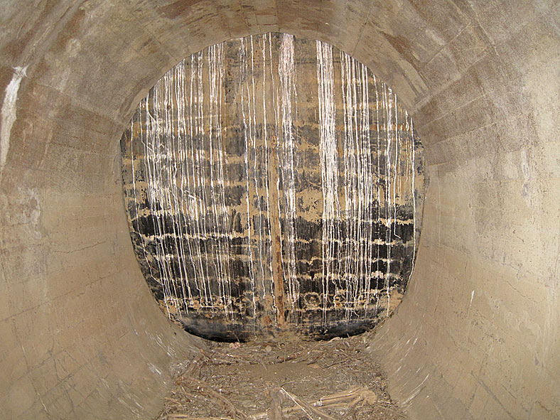
Sealed tight
Above the outlet structure is the machine that controlled the gates. It looks like cables came from the top of the outlet structure and controlled the shaft in front. The left end of the shaft had another cable that controlled the chains on the other side.
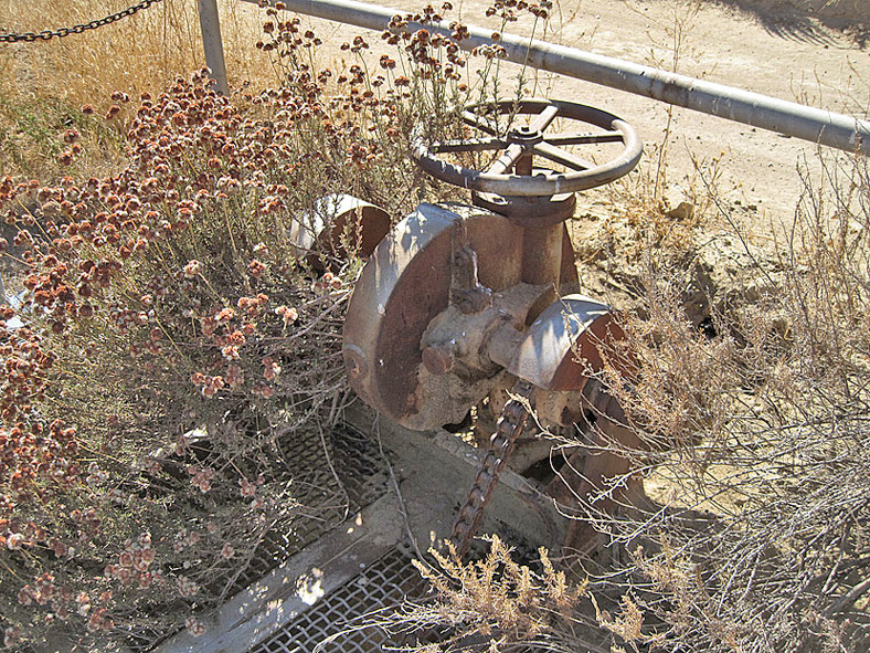
Maybe the gates could also be operated manually here. Two chains come up from inside.
Looking down the shaft from the machine we can see the pivot for the gates
The other end of the above photo. It looks like the chains pulled this structure up and down to control the opening and closing of the gates.
This is the bottom of a steel frame tower that contained the end of a 24-inch blow-off pipe. When a gate valve was opened on the other end of the dam, the reservoir could be completely drained.
Looking down at the drain pipe. Water is still leaking in, showing that the water lever in the reservoir site is quite high. This provides the water that keeps this area so richly covered in plant life. I would think that eventually the water level will drop way down and the plants will die off.
Here is the original tower. The metal structure contained iron grating mounted on the tower. The grating kept the drain from being choked up with debris.
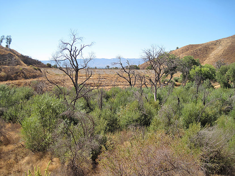
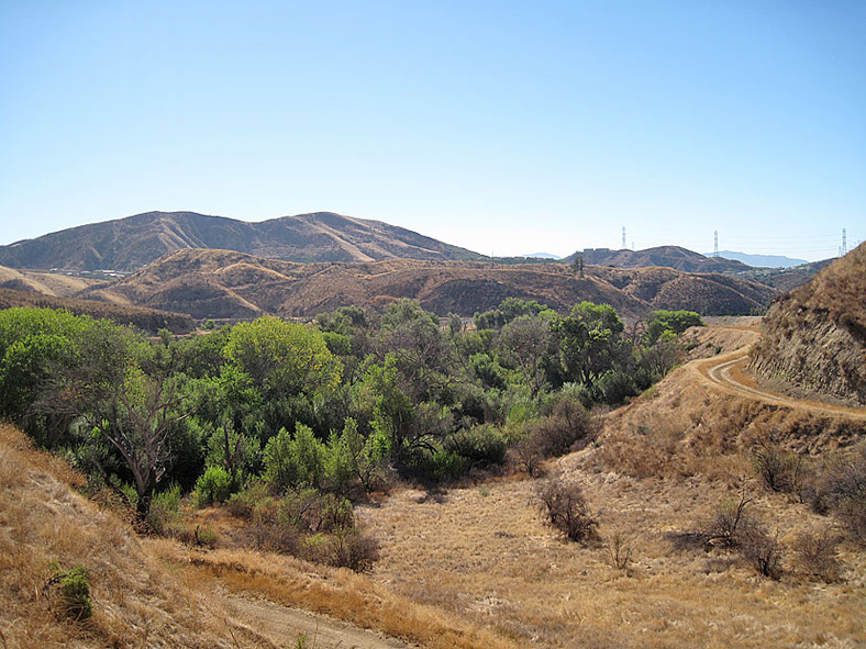
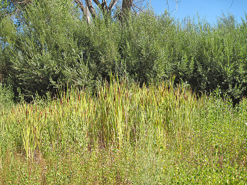
Looking north toward the head of the reservoir site. The plant life here is not as thick as it is closer to the dam.
Looking down on the inlet structure area
Inlet structure. Today, the aqueduct flows from right to left in this photo.
Before the new bypass tunnel was opened (1956-57), all the aqueduct water flowed down this channel into the reservoir.
There is a little water flowing out here. This appears to just to be a little overflow from the aqueduct. From here, it may be possible to stop the flow of the aqueduct and divert the water back into the old Dry Canyon reservoir, but I am just guessing.
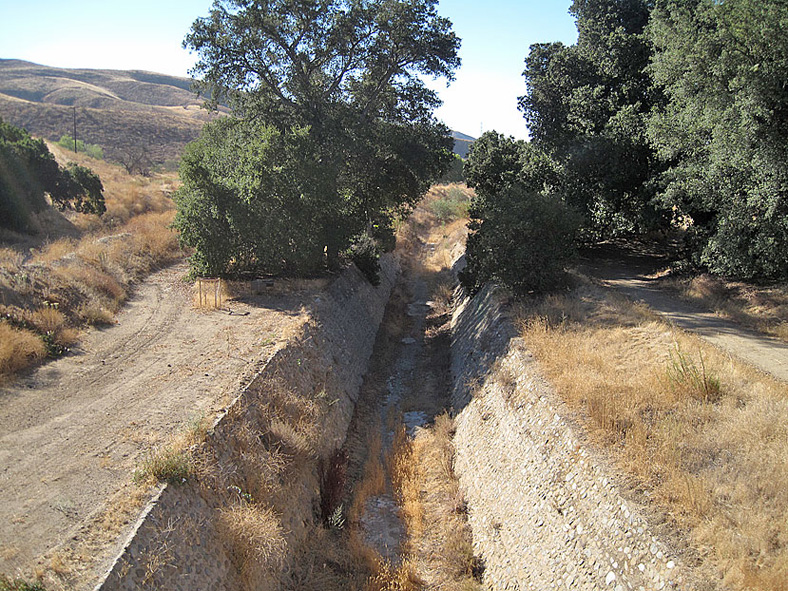
Better view of channel
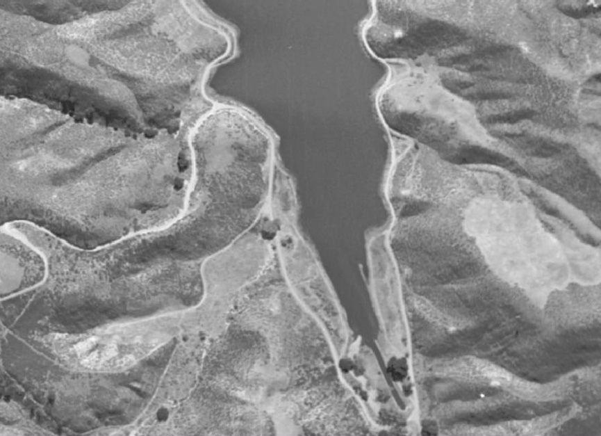
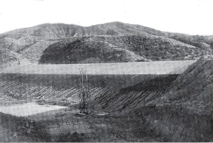
You can see the channel at the bottom of this photo, taken when the reservoir was full.
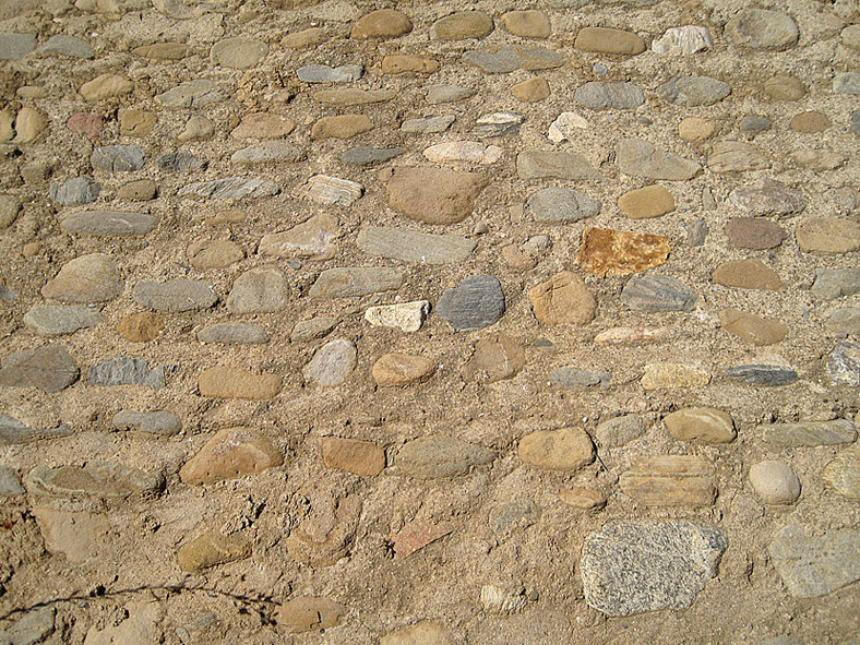
Close-up of channel side showing how it was constructed
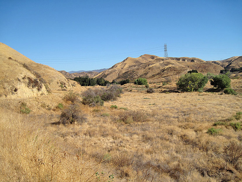
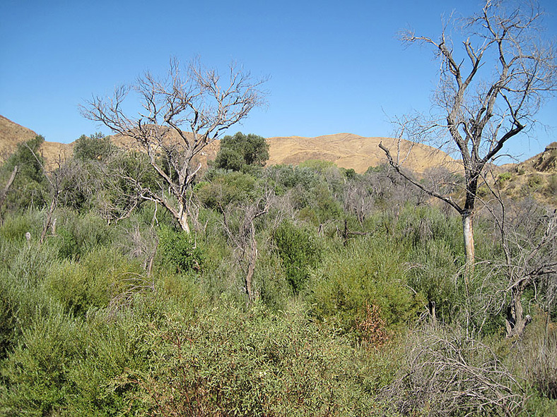
Looking east over the reservoir site. A view of the dam is blocked off by all the plants.
View toward the south. The foreground shows that the plants are beginning to thin out as they get further from the dam.
Right at the dam looking north. Virtually impossible to pass through here.
At the dam looking north
Still near the dam looking southwest
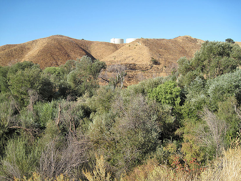
View toward the northeast. There is a tank on the far hill in the middle of the photo probably built in 1955 when the bypass tunnel was built.
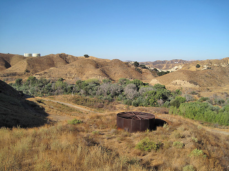
Looking southwest here from above the tank. The ribs in the tank supported the now-missing top.
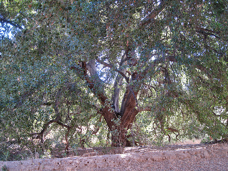
There are a few large oak trees on the reservoir site
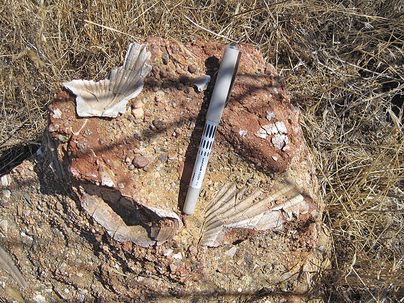
Castaic formation fossils in a tributary of Dry Canyon
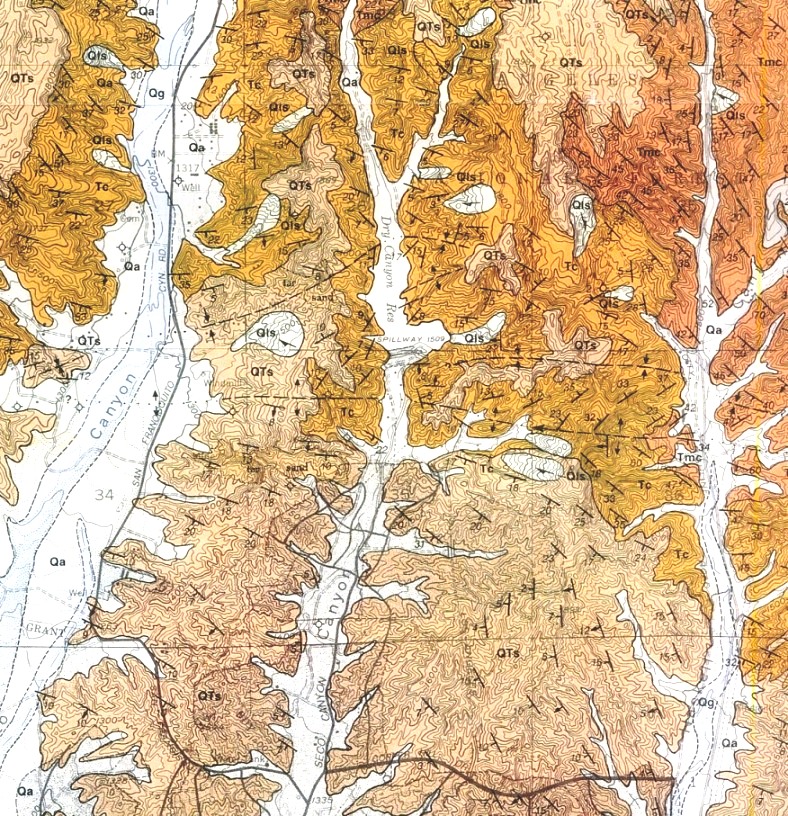
I did not create a page for the geology, but here is a geologic map of the dam area. QTs is the Saugus formation (nonmarine, middle Pleistocene), Tc stands for the Castaic formation (marine, late Miocene), and Tmc is the Mint Canyon formation (nonmarine, middle-early Miocene). As you can see from the above photo, some fossils can be found in the Castaic formation. The map is from the Geologic Map of the Newhall Quadrangle DF-56, by Thomas Dibblee, Jr., 1996. Dibblee geologic maps can be purchased online here.
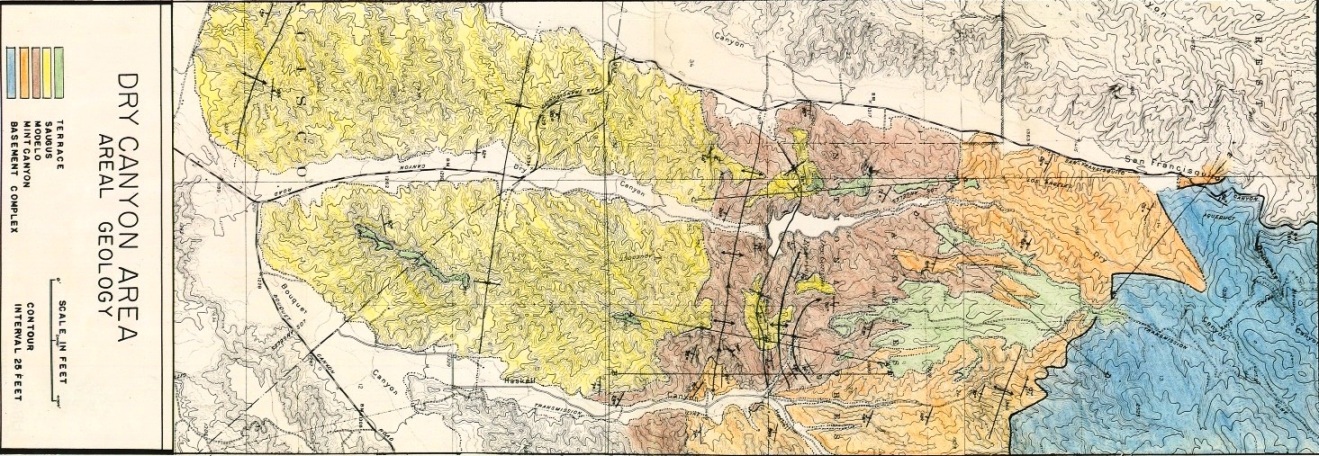
This geologic map was done by Joseph Martin in 1947 for his thesis "Geology of the Dry Canyon Area in the Eastern Section of the Ventura Basin, California" for the California Institute of Technology. View the full map here (PDF 8.4MB) and his actual thesis here (PDF 13.3MB). Note that the Castaic formation of today was called the Modelo by Martin. They are, however, of equivalent ages.