Tick Canyon Photos
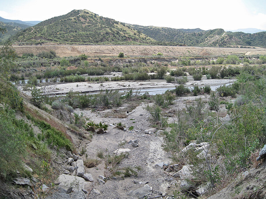
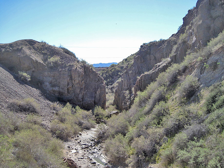
This is the mouth of Tick Canyon. Here it enters the Santa Clara River just east of Highway 14 opposite of where Shadow Pines Blvd runs into Soledad Canyon Road. This view is toward the south with the freeway directly behind. That's my black backpack in the middle of the photo. The creek is dry for most of the year. (photo taken on 4/23/2011)
Turning around and looking north not far from the mouth. Here we are still between the freeway and the Santa Clara River. (4/23/2011)
Not far from the last photo a little closer to the freeway (4/23/2011)
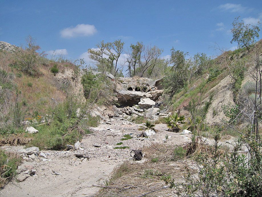
Just about at the freeway here with another barrier for the water to pass over and through (4/23/2011)
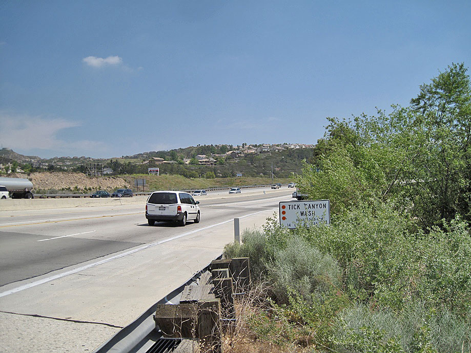
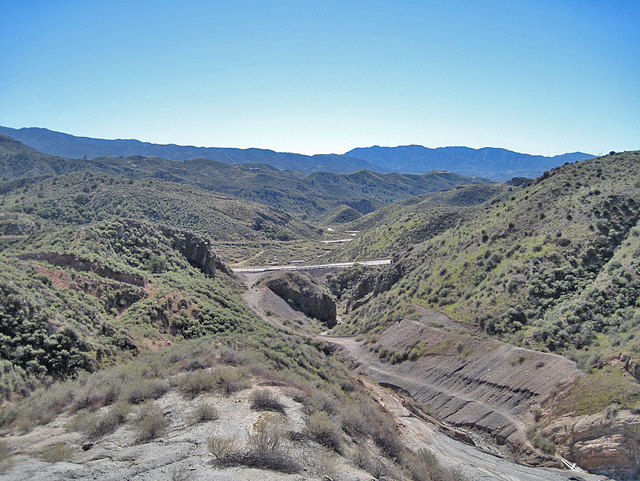
Here is the 14 freeway above Tick Canyon (4/23/2011)
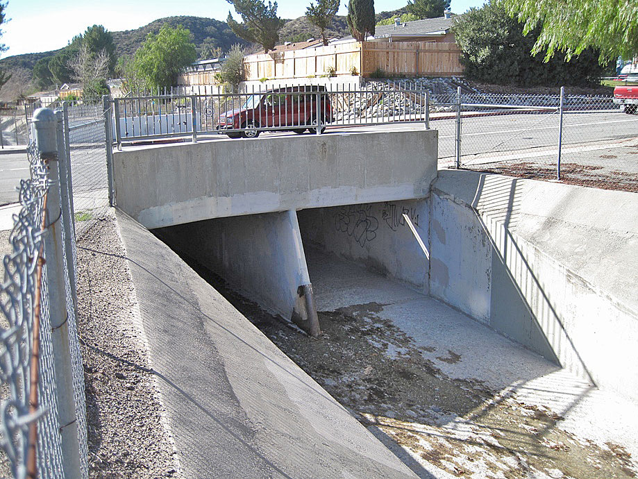
The bridge over the cemented creek bed of Tick Canyon at Grandifloras and Shadow Pines Blvd (4/23/2011)
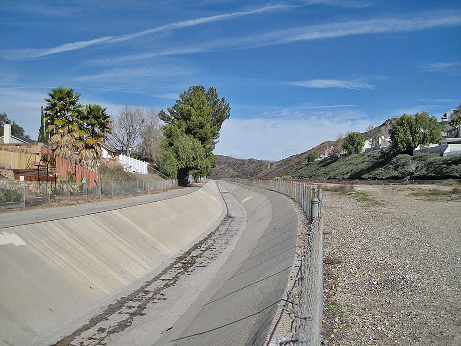
Looking north up Tick Canyon from the Grandifloras bridge (4/23/2011)
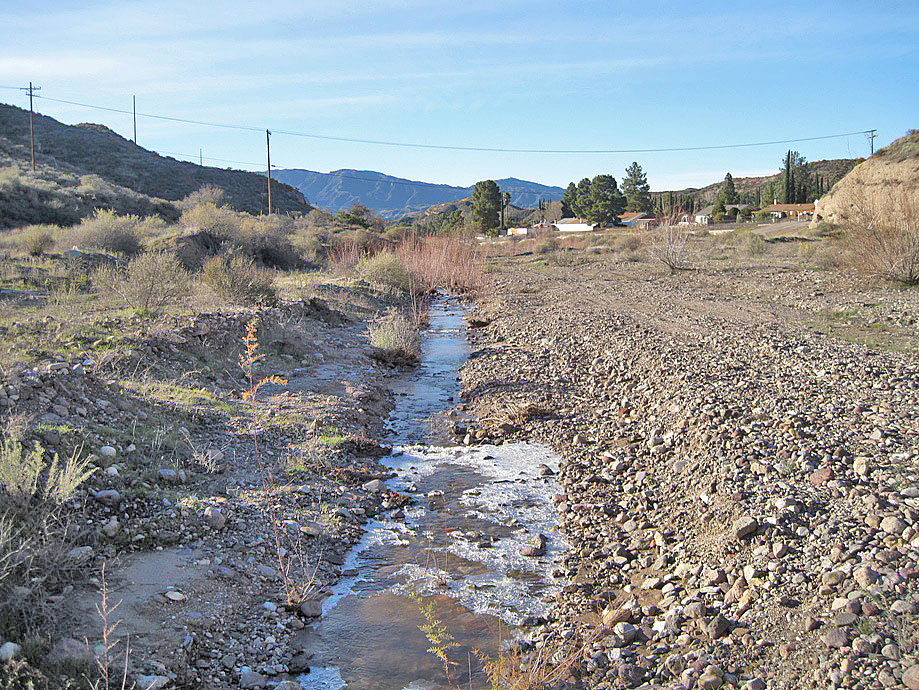
Looking south up Tick Canyon just past the cemented channel at Green Court Drive. The dirt Tick Canyon Road starts here. That is ice in the water on this very cold morning. (4/23/2011)
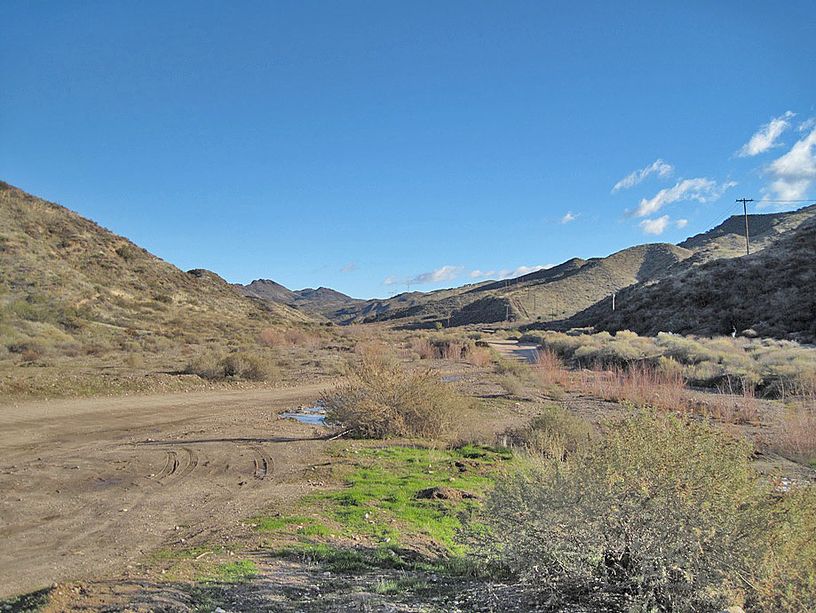
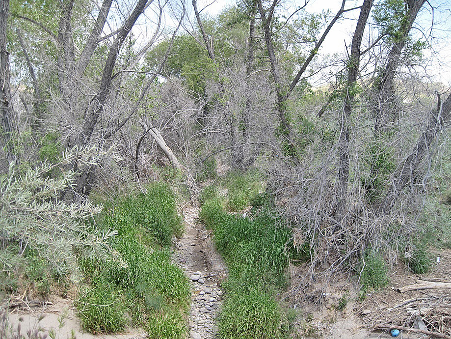
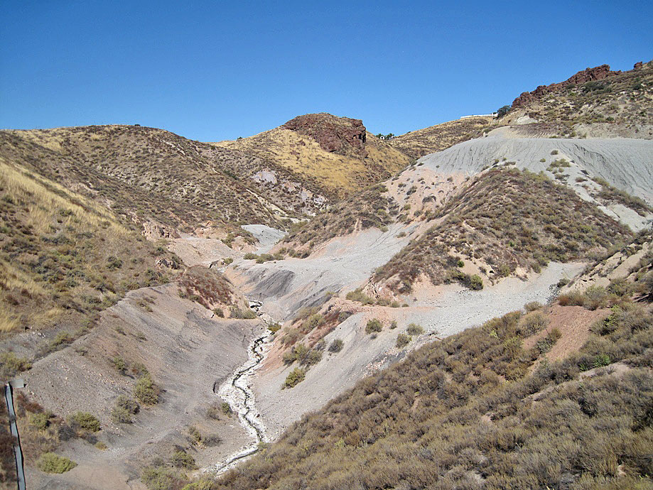
Looking north up Tick Canyon Road just past the previous photo (4/23/2011)
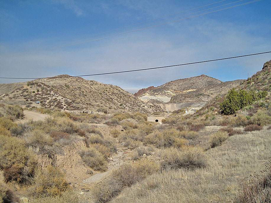
Looking north up Tick Canyon Creek just before Tick Canyon Road (on the left) reaches Summit Knoll Road. The black circle is the pipe for water to flow through under the bridge for Summit Knoll Road over Tick Canyon creek. (4/23/2011)
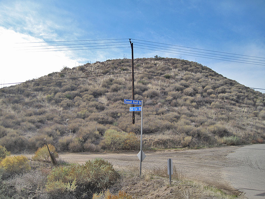
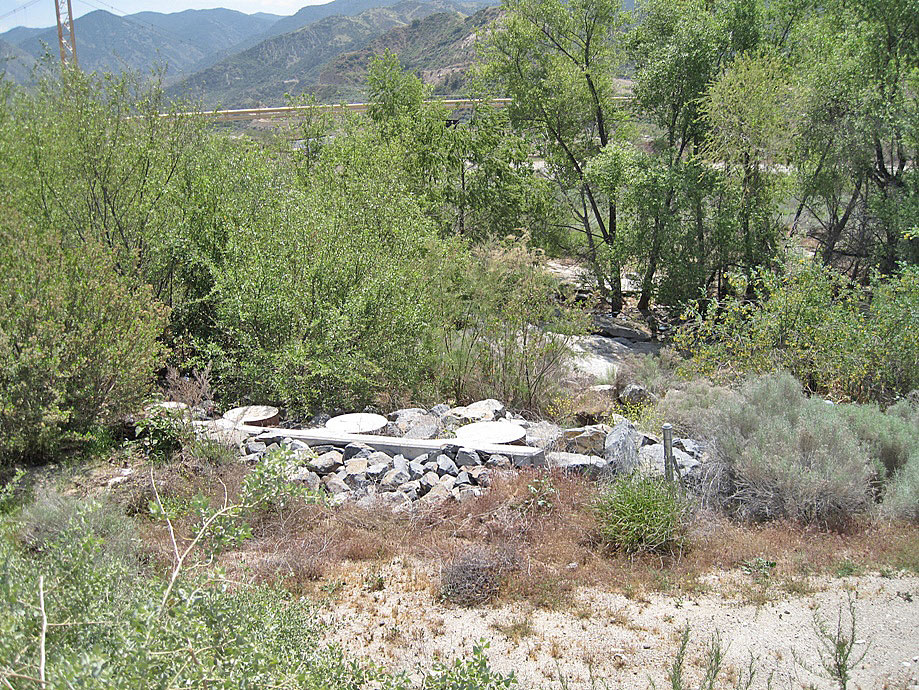
The junction of the dirt Tick Canyon Road with the paved Summit Knoll Road (4/23/2011)
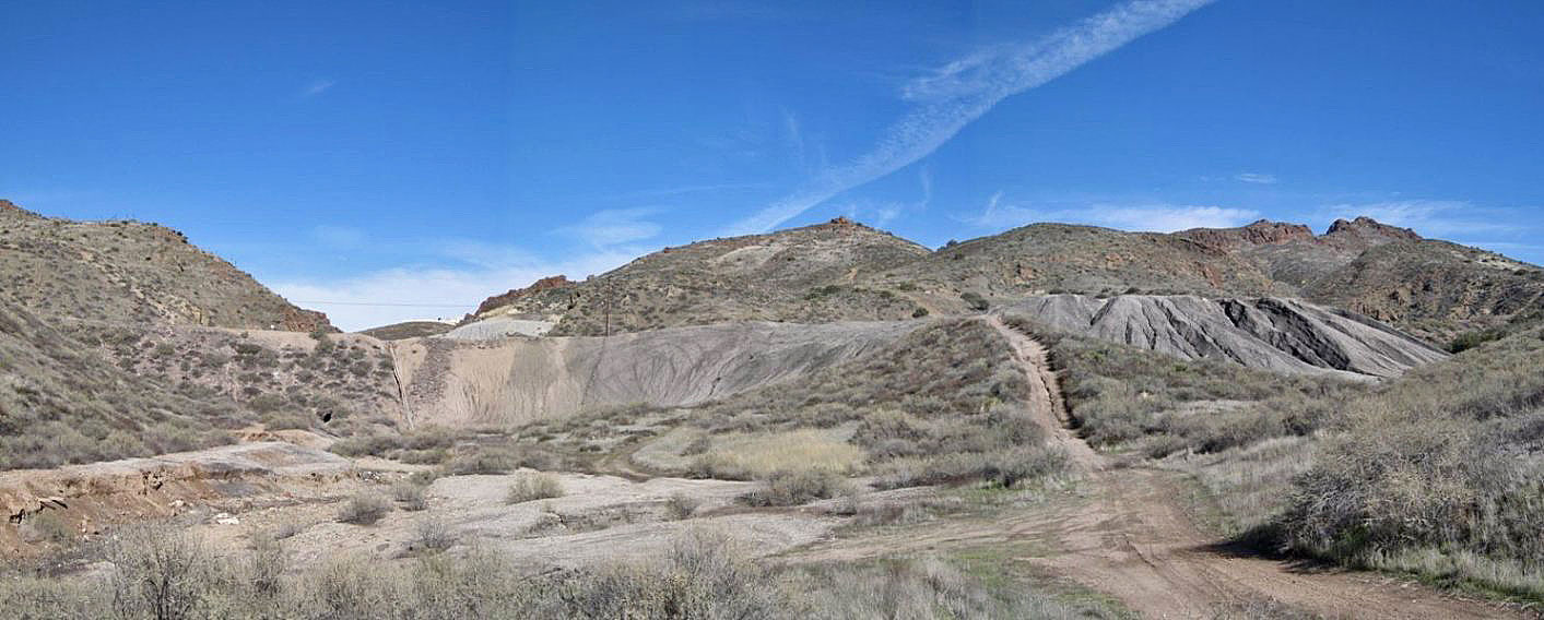
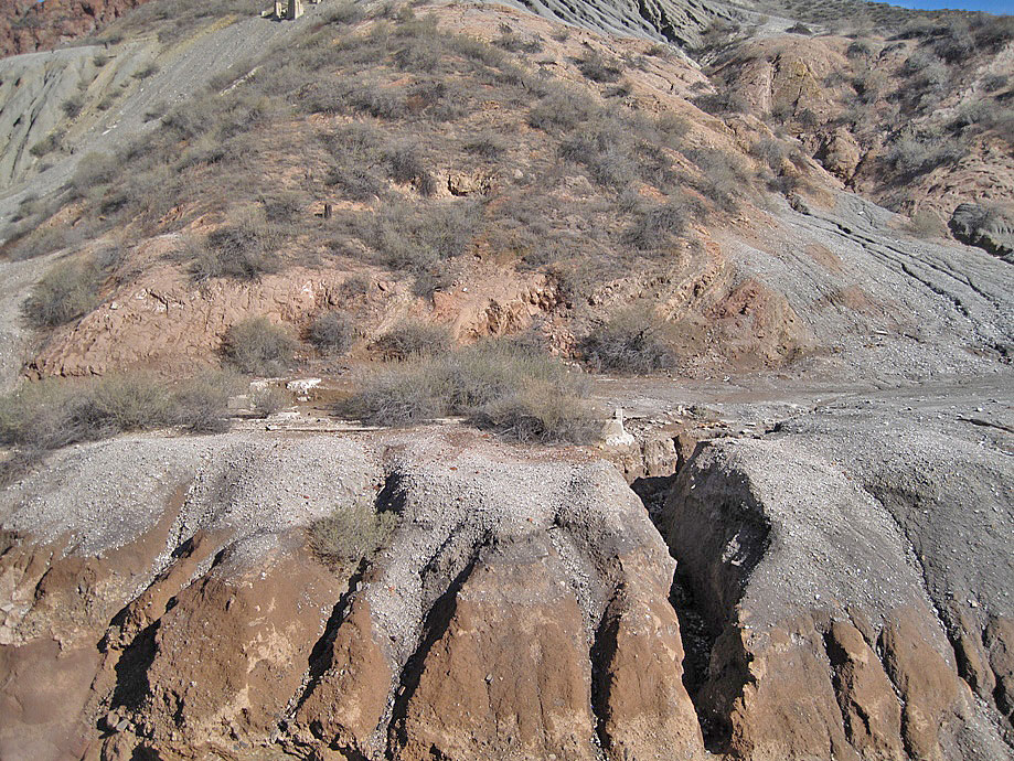
This is the lower dump of the Sterling Borax Mine and Davenport Road. Looking north. Davenport Road was realigned to here between 1954 and 1959. Originally, it was using the eastern route that Summit Knoll Road is using today. I have seen a map from 1950 with Davenport Road shown where Summit Knoll Road is now. It then ran into Tick Canyon Road. (1-1-2011)
Closer view of lower dump. Most of the small white rocks are fragments of howlite. (1-1-2011)
Just above Davenport road looking south. The road running along the base of the hill from the left middle is Summit Knoll Road. At one time this was Davenport Road. Tick Canyon Road can just be seen in the distance where it will end at Summit Knoll Road. This is the area where the camp for the miners was. It was sometimes called Sterling. (1-1-2011)
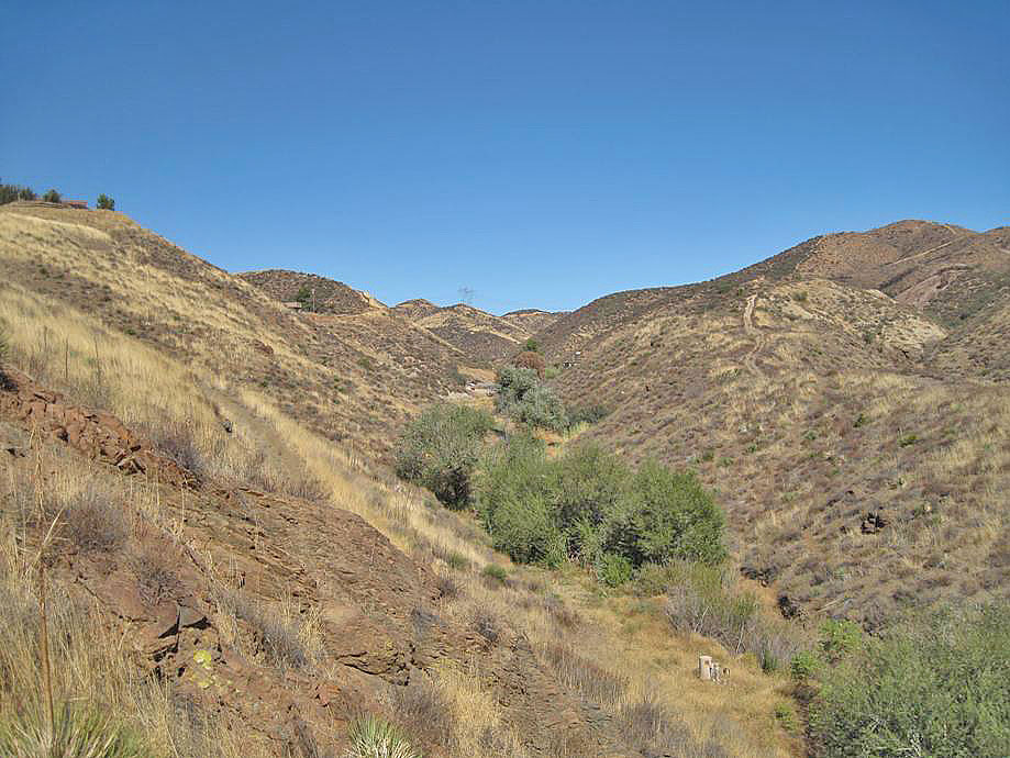
A little more above Davenport Road (1-1-2011)
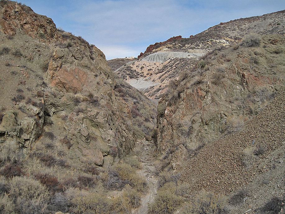
Looking north from Davenport Road we see the cut though basalt for the narrow gauge railroad which travelled down the canyon about 6 miles to Lang Station. (1-1-2011)
Same cut looking south (1-1-2011)
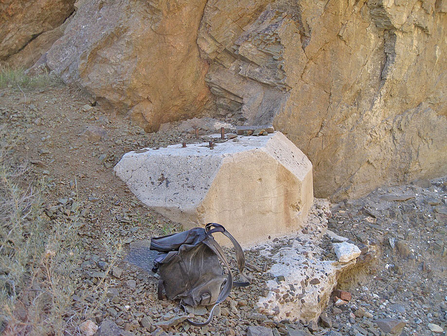
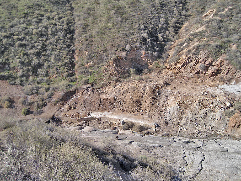
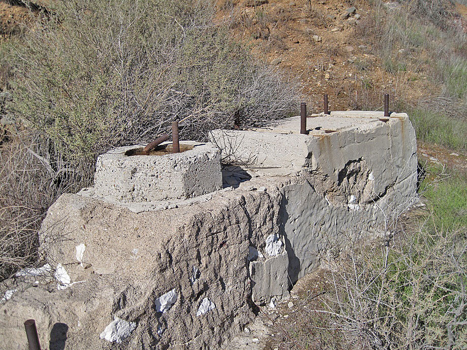
In the cut is this cement support structure for the trestle running above the cut for the cars carrying waste material for the lower dump. (1-1-2011)
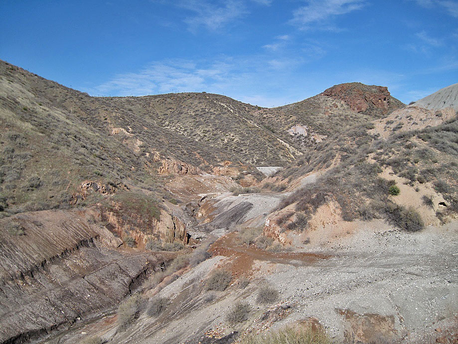
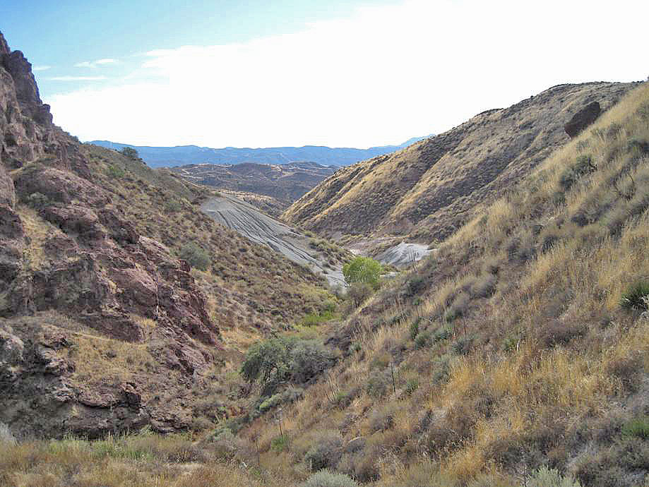
A little higher view of the cut looking south down the Tick Canyon (1-1-2011)
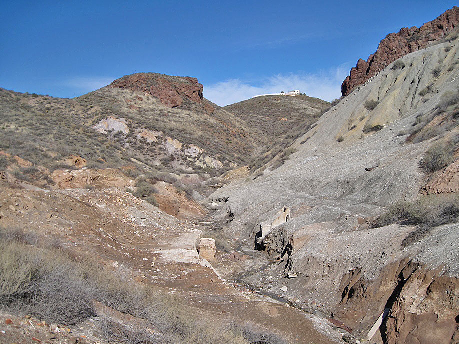
Looking back north as we head for the loading dock (1-1-2011)
Loading dock in the distance on the left (west) bank of the creek (1-1-2011)
What's left of the cement loading dock on the left. Here the bags of borax were loaded into a small gauge train for tranport to Lang Station. Above the loading dock on the left (west) was the reduction plant. Far away on the right above the canyon is somebody's white house. (1-1-2011)
(1-1-2011)
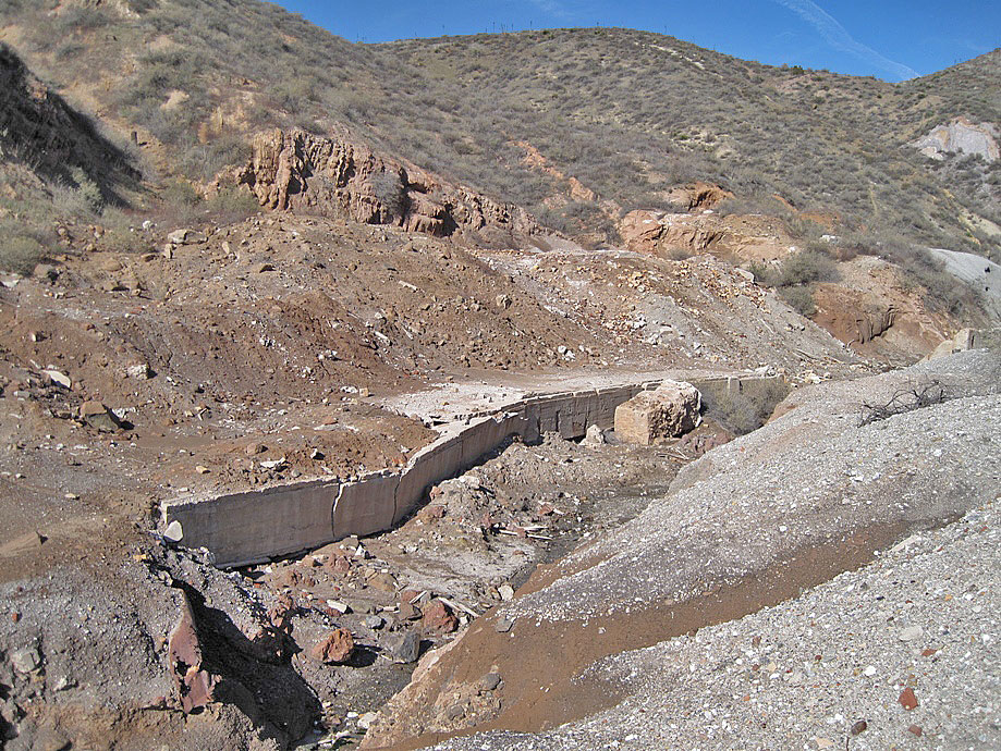
Loading dock was nearly 100 feet long (1-1-2011)
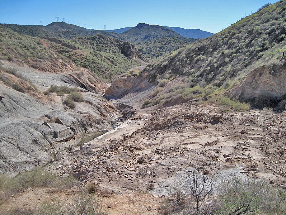
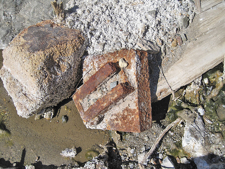
On the same creek side as the dock. A lot of old broken bricks and other rubble in this area where the reduction plant was. Here there were roasters to cook the ore. The waste from the cooking was tranported by dump car to the lower dump and the borax ore was packed in sacks and loaded on a small gauge train at the nearby loading dock. The train would take the sacks to Lang Station where they were transported east for further refinement. (1-1-2011)
Higher view of loading dock and reduction plant area (1-1-2011)
Other ruins near the dock on the other side of the creek (1-1-2011)
(1-1-2011)
(1-1-2011)
(1-1-2011)
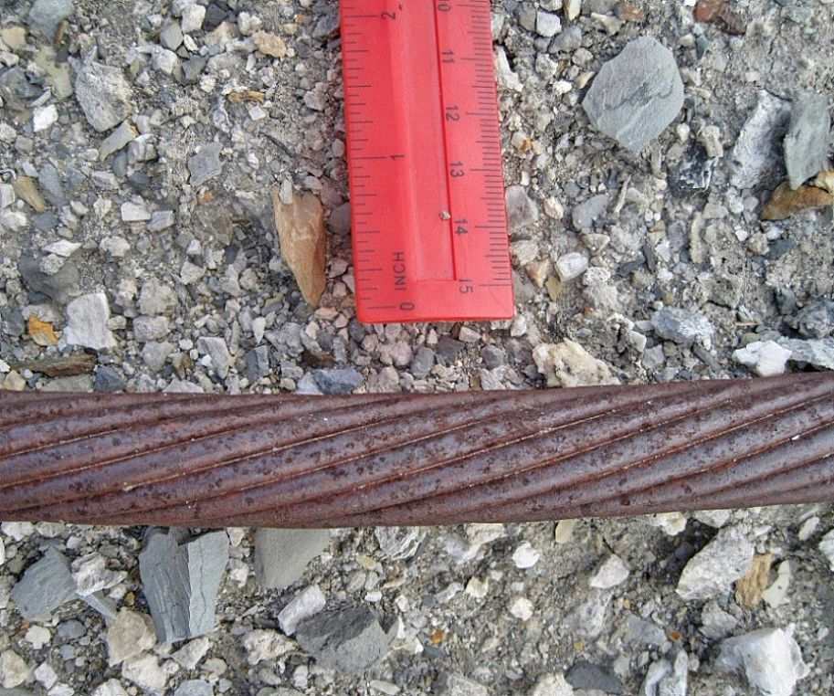
I have found two varieties of wire rope at the dump. This one is a round strand rope. (2-17-2016)
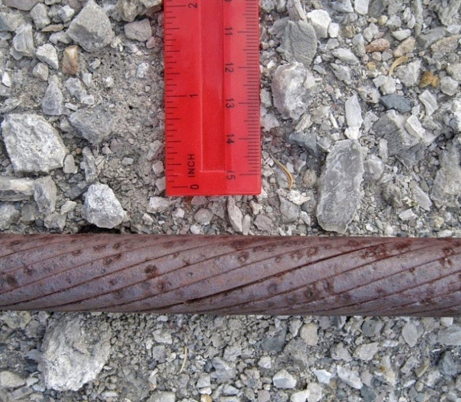
This one has a smooth surface and is called a locked-wire rope. The circumference is about 2 7/8 inches, about the same as the previous rope. (2-17-2016)
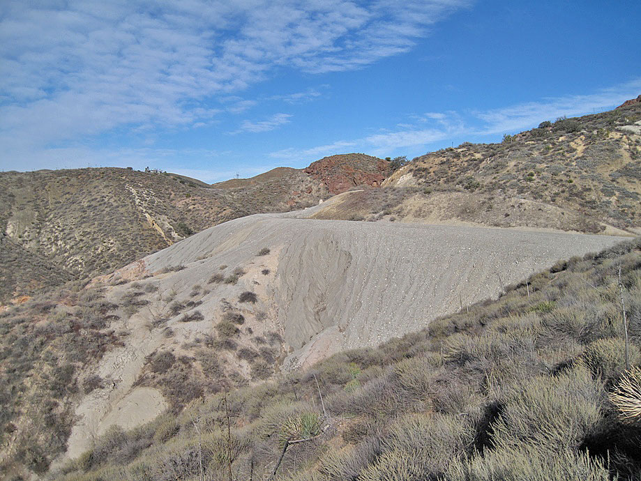
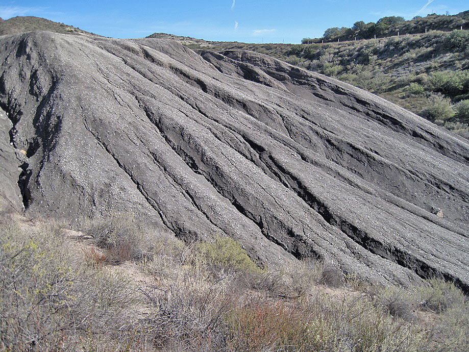
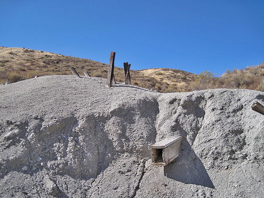
View of upper dump (1-1-2011)
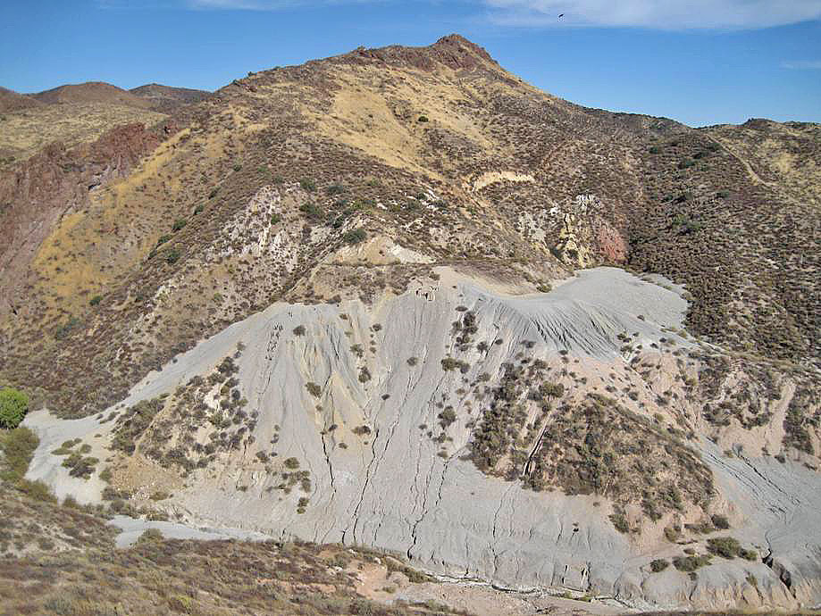
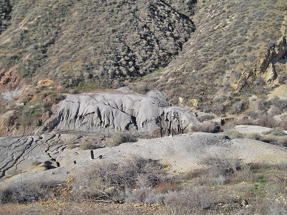
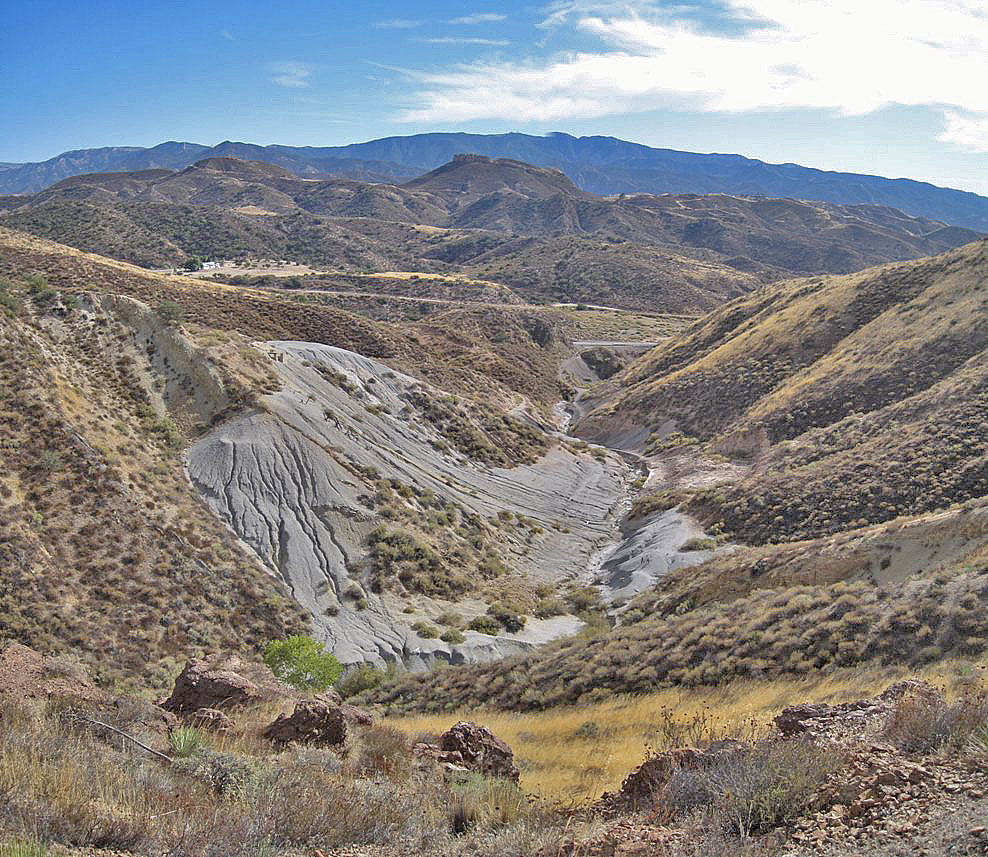
Long distance view of upper dump from opposite hill top (1-1-2011)
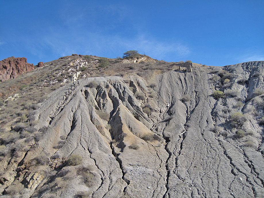
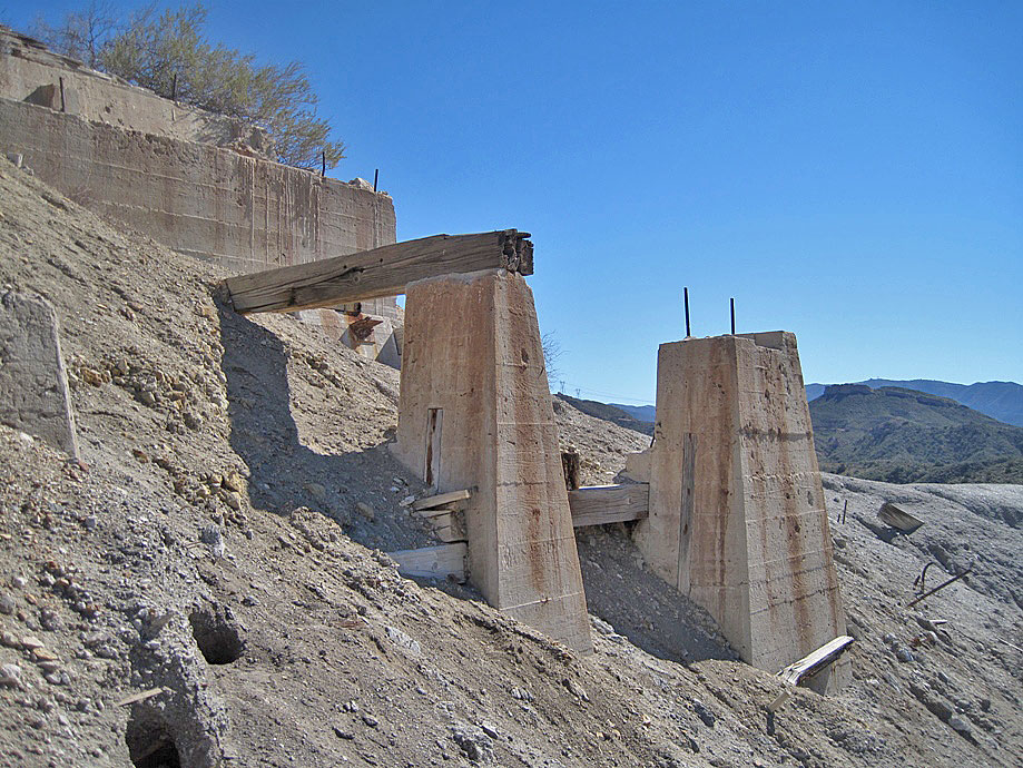
What's left of the supports of the ore bins. Wooden pieces of the trestle supports can be seen on the left dropping down the side of the dump. (1-1-2011)
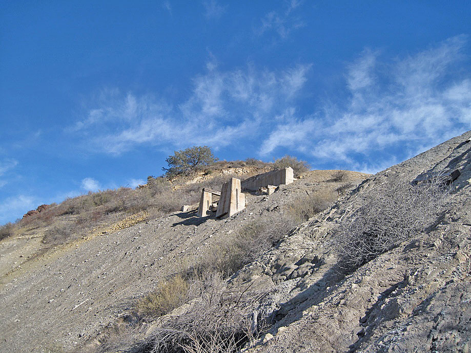
Another view of the supports (1-1-2011)
(1-1-2011)
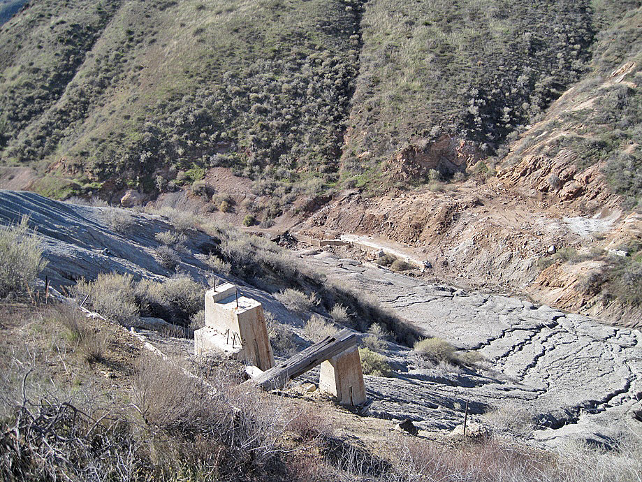
Looking down to the loading dock at the creek bed (1-1-2011)
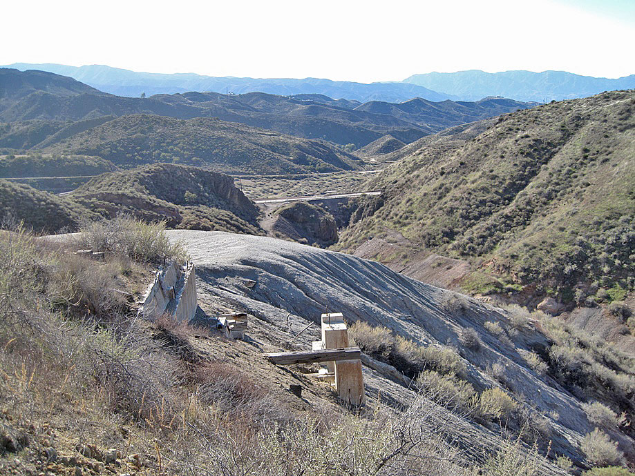
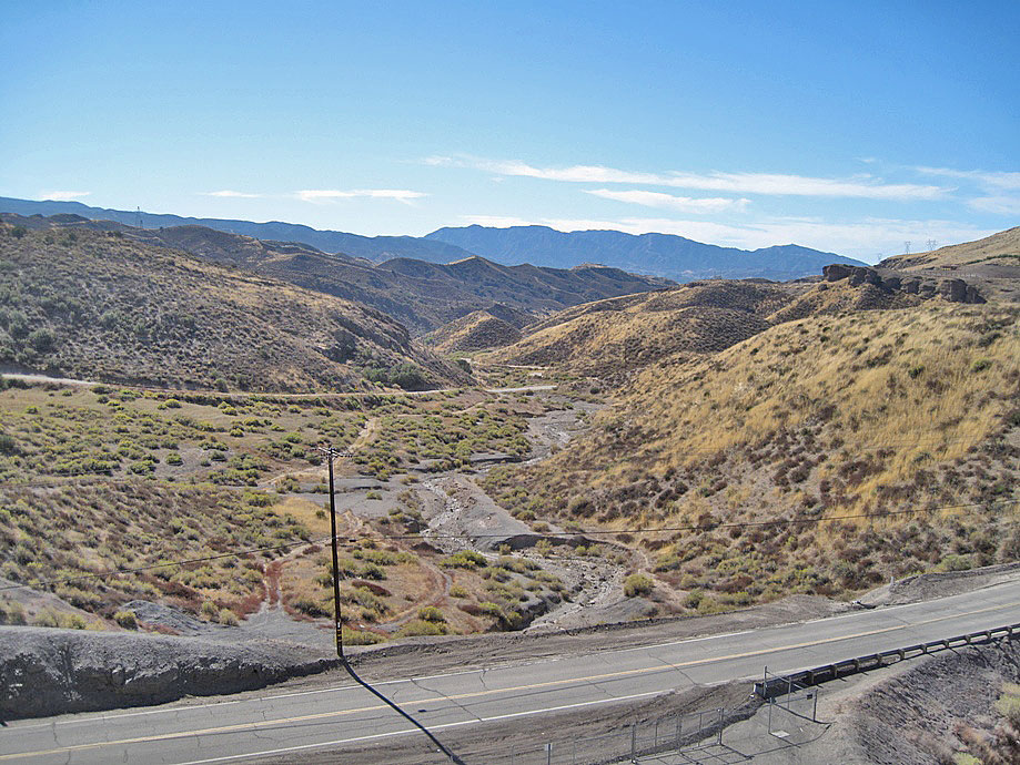
Looking south towards Davenport Road, and Tick Canyon (1-1-2011)
(1-1-2011)
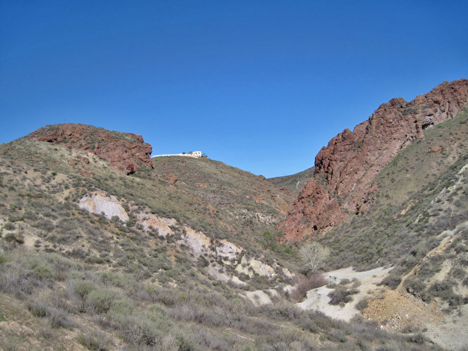
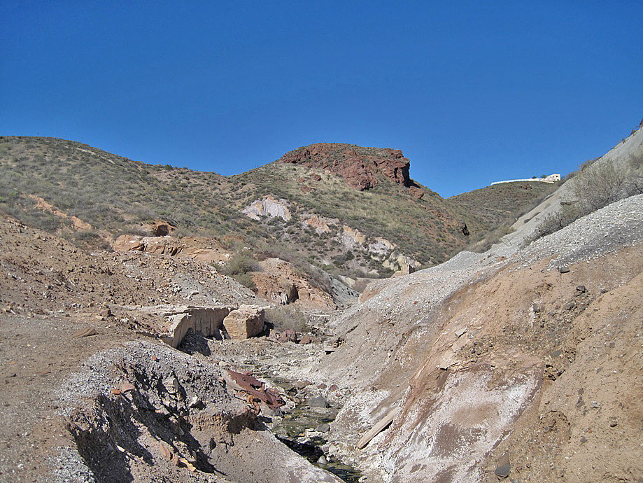
View north up the canyon past the mine. Those are reddish brown basalt rock structures on both sides of the creek. (1-1-2011)
View to the north further up the canyon. This is as far as I got. The white house is about directly above me on the top of the hill to the left. Further north down the canyon from here are the locations of the old gold mines, if there are anything left of them. (1-1-2011)
Looking back south up at the mine area (1-1-2011)
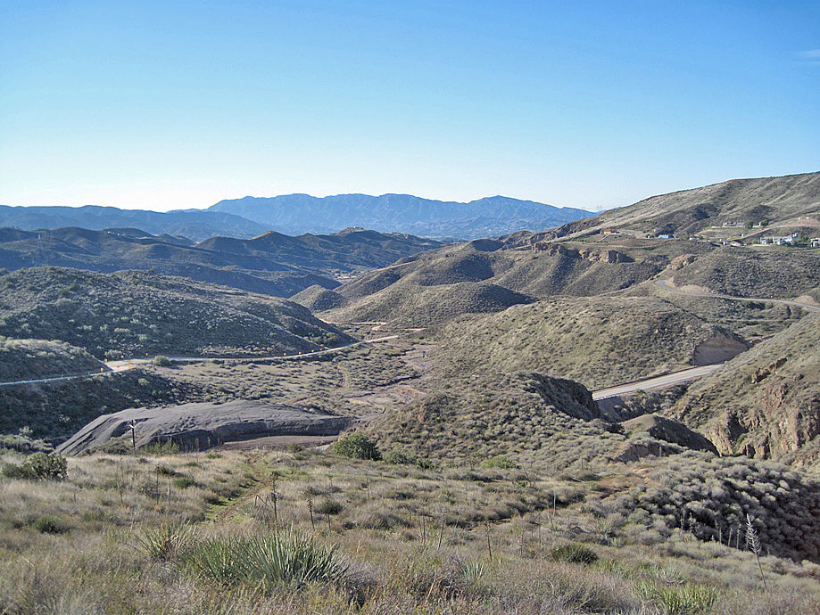
The Sterling Borax Mine area today (1-1-2011)
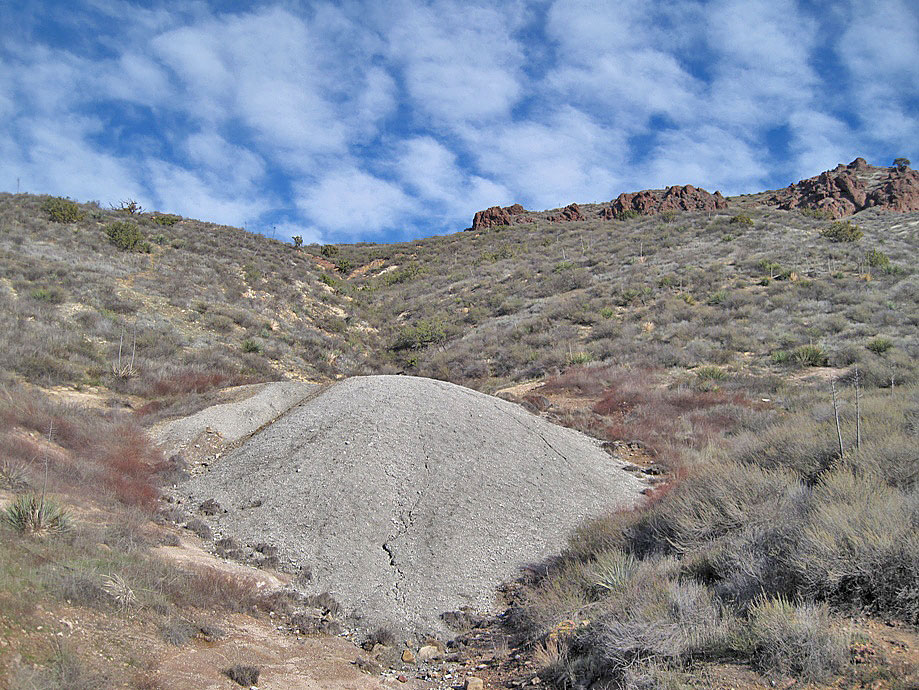
About 1/2 mile to the east of the borax mine is this small dump (1-1-2011)
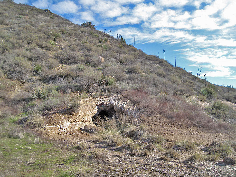
The dump comes from this adit (small horizontal shaft). It failed as a borax mine. (1-1-2011)
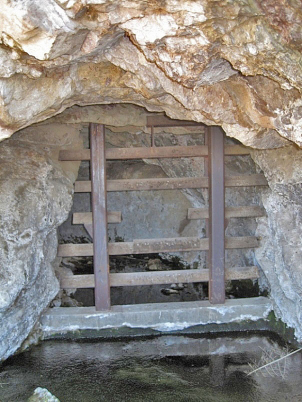
Closer view shows that it is full of water and blocked by steel bars. The water was at one time used by piping it to a tank in the camp (according to L.D. Osborne in a letter to Ruth Woodman in 1949). (1-1-2011)