Whitney Canyon Aerial Photos: 1928 - 1994
These aerial photos are from the FrameFinder website hosted at UC Santa Barbara. The designation after the date is the Flight ID and Frame Number. More information can be found on the FrameFinder site. The photos were taken at different times of the day and year and different angles making it too difficult to align them all up.
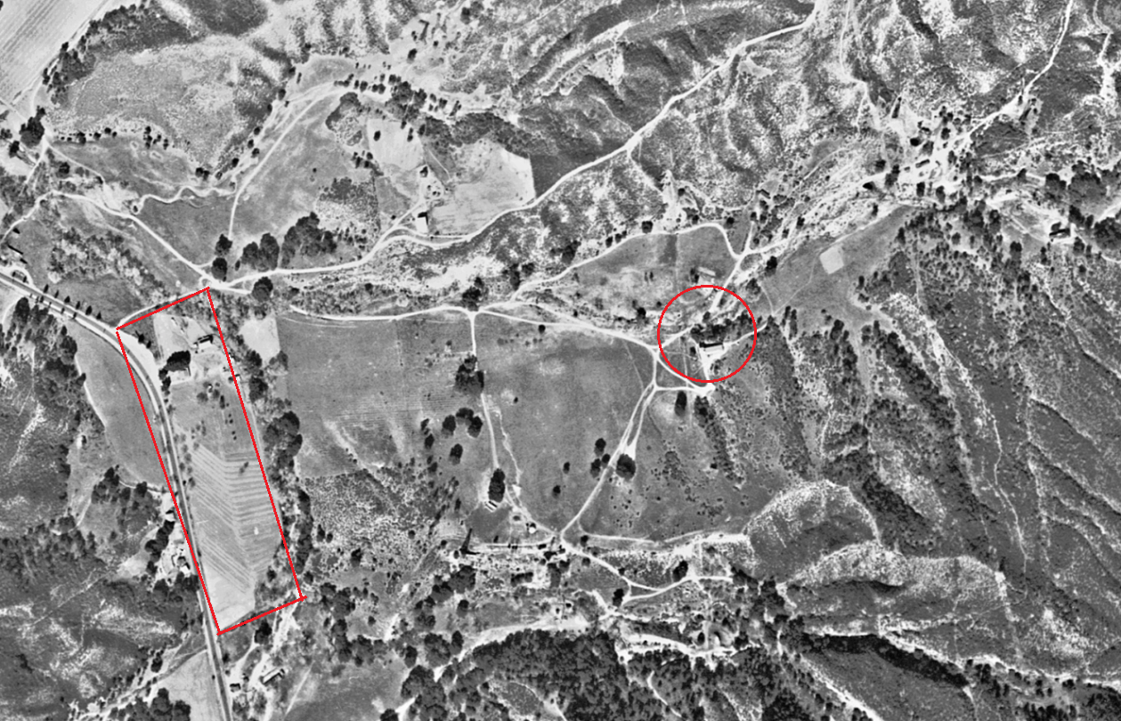
1928 (c-300_e-218).
Not much going on here. The main Whitney Canyon Ranch house is in the red circle, but I don't know who the owner was. There are other structures scattered around. The red rectangle encloses the property of Walter R. Cook (11/28/1896-5/9/1954). He bought the property in 1920 and established the Ridgeview Dairy, which he operated for 22 years. He married Pearl Walk in July of 1920. The turn in front of his house was know as "Walter Cook corner". Many vehicle accidents happened there. The "saucer" shape of the road was completed in January of 1926 to try to make it safer. According to AB Perkins (Story of Our Valley, Signal 1/2/1947) during the construction of the railroad tunnel in the 1870's, a graveyard was established near the Cook property and all Chinamen killed on the job were buried there. After the tunnel was completed in 1876, the bones were shipped to China for final burial. Perkins provided no source for that statement and it has never been verified.
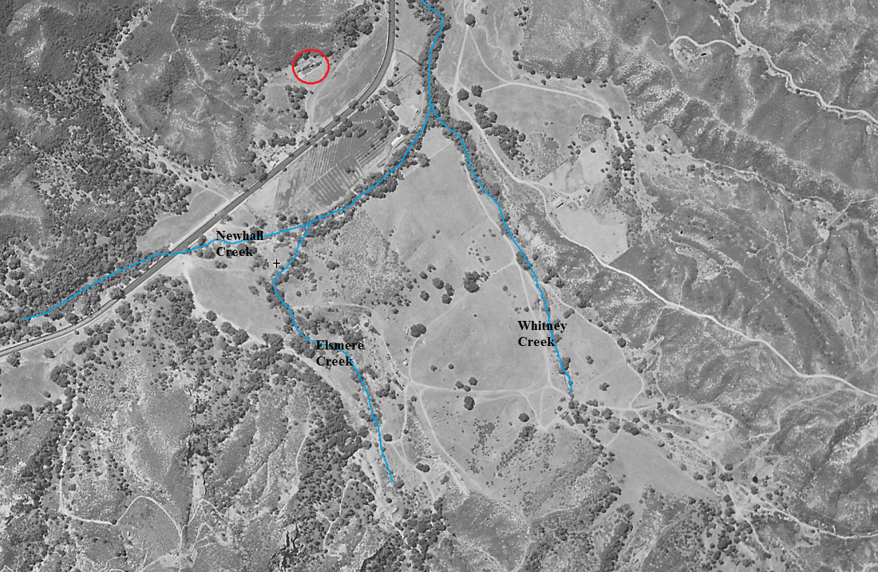
1930 (c1001b_b-97).
T. E. Berger built a large home (red circle) opposite the Walter Cook ranch in 1929 (Signal 5/30/1929). Whitney Creek and Elsmere Creek drain into Newhall Creek on the southeast side of the Cook ranch.
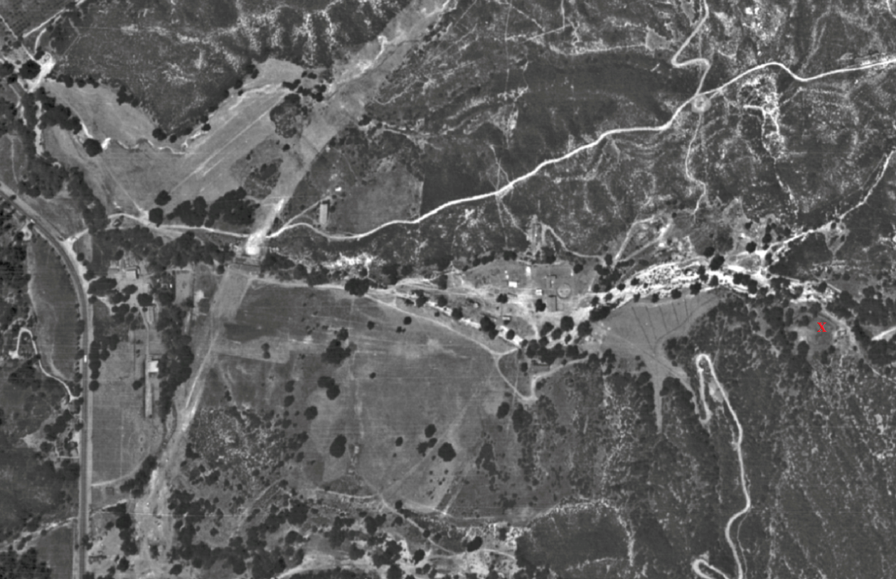
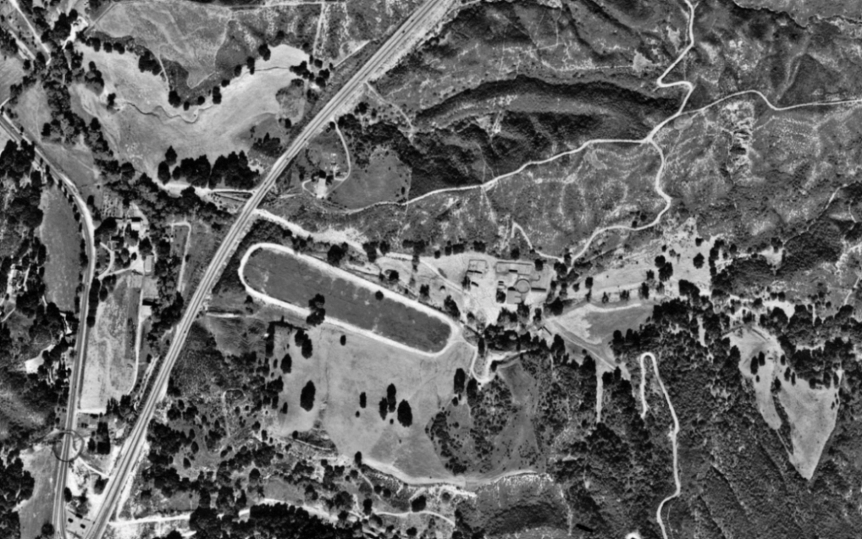
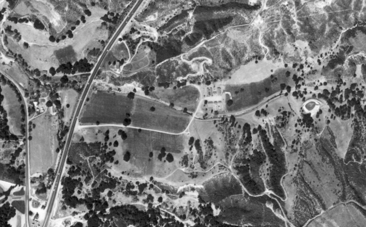
1938 (axj-1938_51-34).
According to John Boston (Time Ranger, Signal, June 17, 2007), J. Warren MacClatchie became the owner of the ranch in Whitney Canyon in 1935. He named the ranch the Double Vee. MacClatchie would raise thoroughbred horses for racing. I believe that the pond on the right (south) side of today's road just where the canyon begins to narrow was built in 1938 by MacClatchie. I don't see it on a 1937 aerial photo but I think I do see it on this 1938 aerial photo at the red "X" at the far right. I think that the light area where the Mint Canyon cut-off will be constructed soon (the curve from the left bottom to the middle top) was drawn in after the photo was developed. This was done on many of these aerial photos.
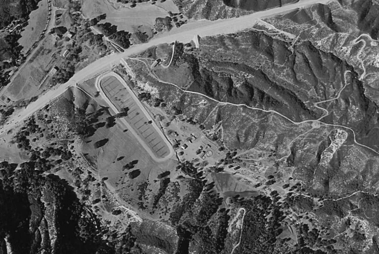
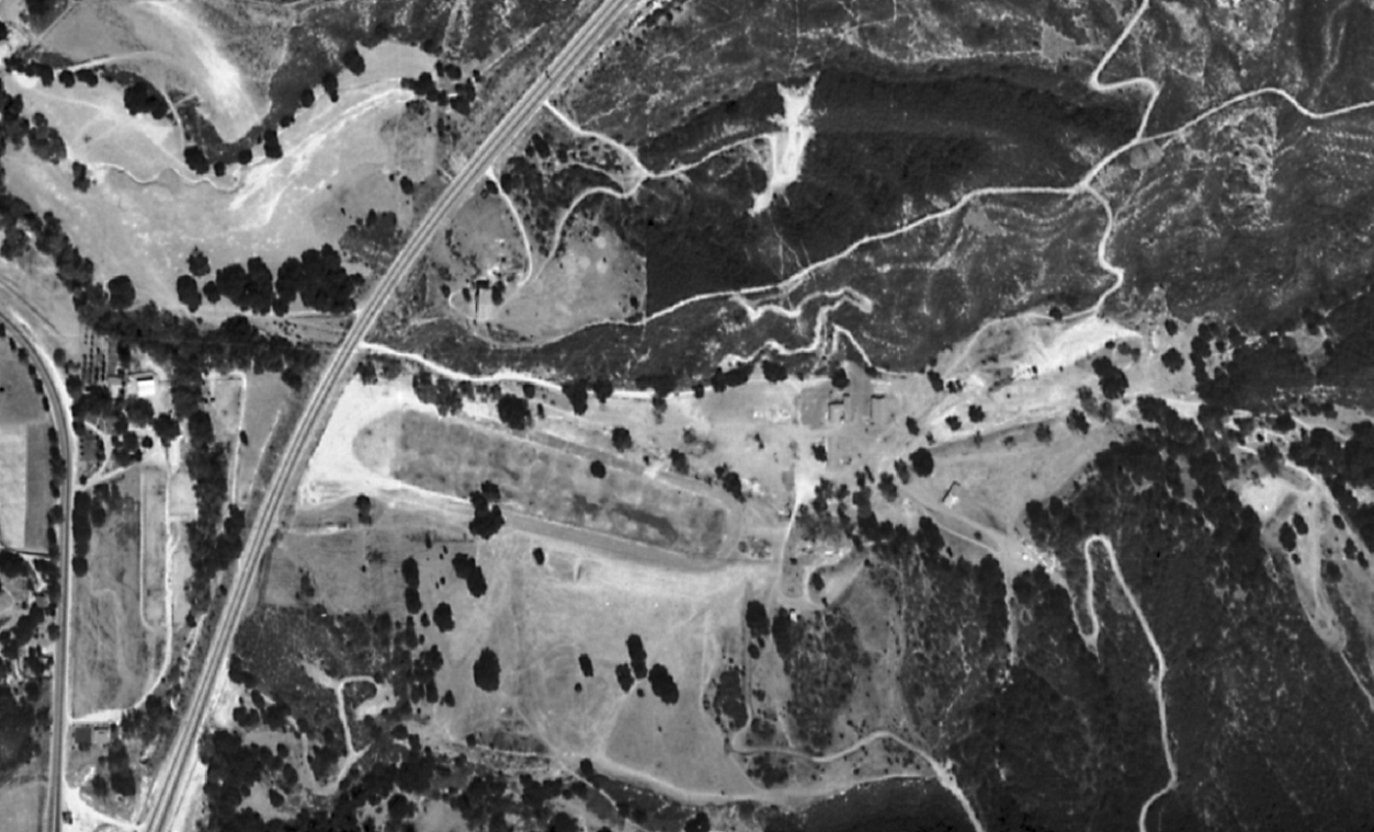
1939 (between 12/6/1938 and 1/31/1939) (c5526_69).
MacClatchie added a racetrack to the ranch for training his horses. The new Mint Canyon cut-off road is being worked on here or has just finished. This was being built at the same time that the Newhall Tunnel was being turned into the Newhall Cut.
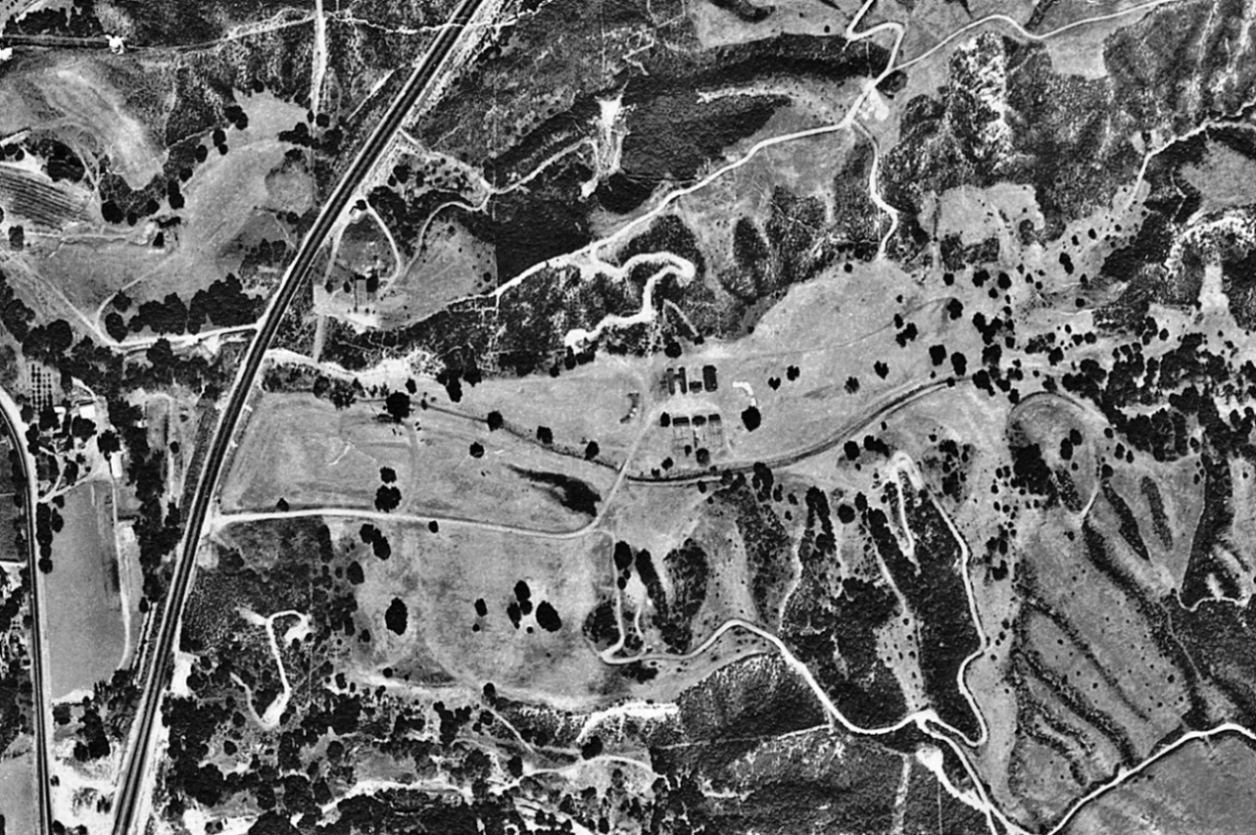
1945 (c-9800_12-1233)
It doesn't look like the racetrack was being used very much.
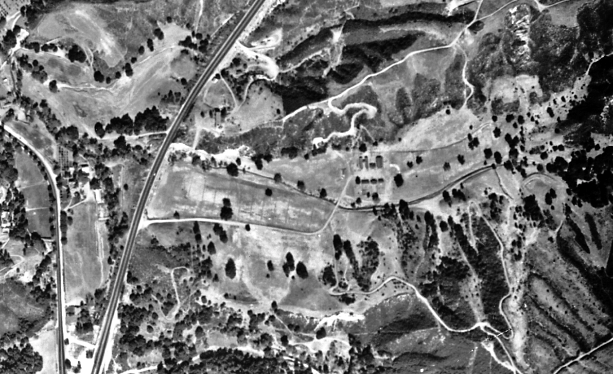
1947 (gs-em_3-22).
In 1947, MacClatchie sold his ranch to oilman Waite Phillips (Signal, June 19, 1947) for a reported quarter of a million dollars. MacClatchie would move his Double Vee ranch to Mint Canyon.
1950 (c15695_2-3)
No trace of the racetrack. The Cook ranch is still there between the old and new roads.
1952 (axj-1952_3k-100)
1959 (axj-1959_16w-62)
In 1954, Walter Cook died and in 1956 Walter's wife Pearl died in 1956. I don't know who owned their ranch after that.
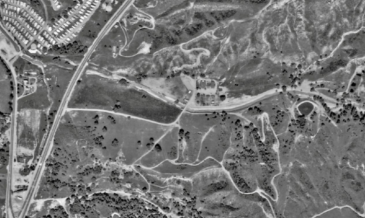
1968 (tg-2400_1-6)
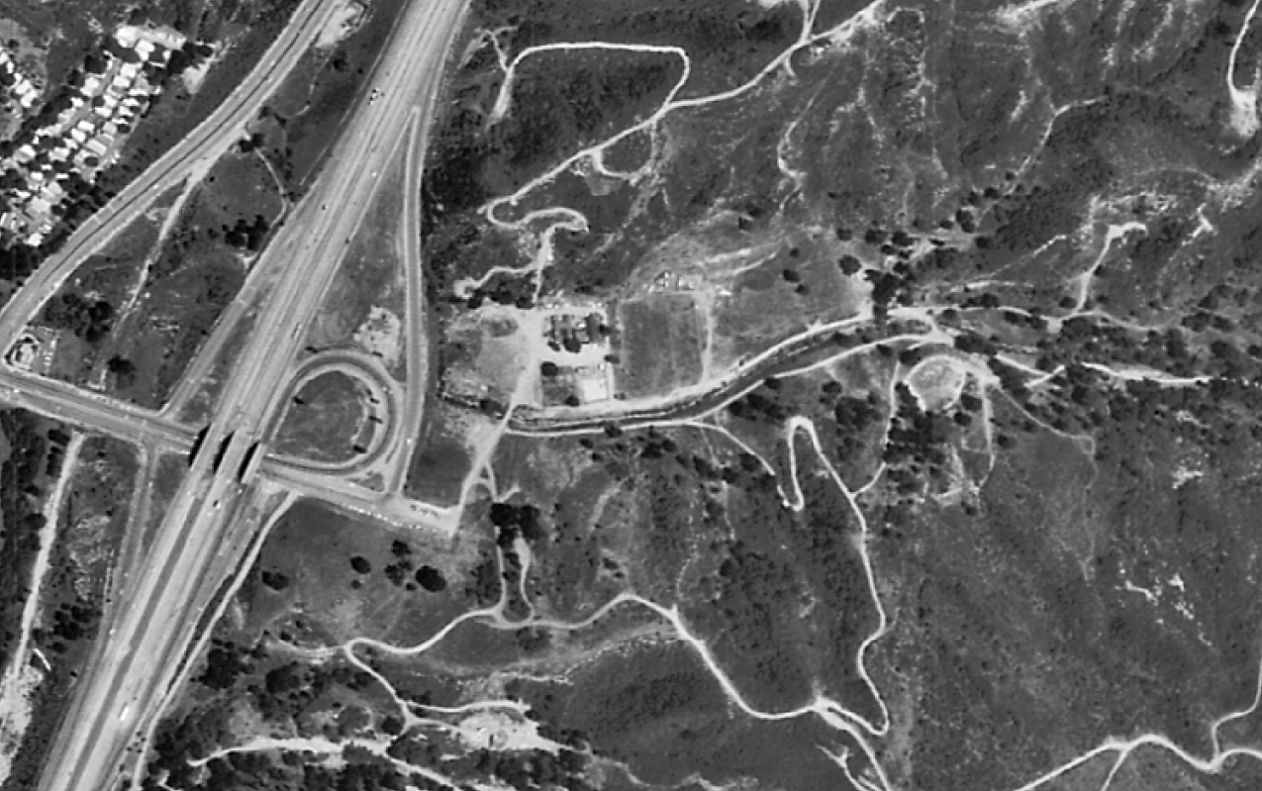
1974 (tg-3232-013_41.8)
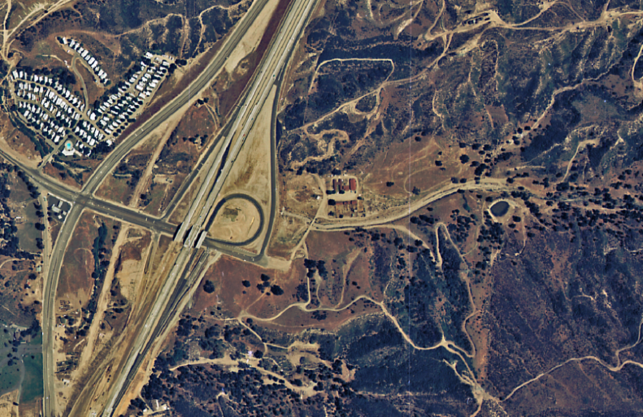
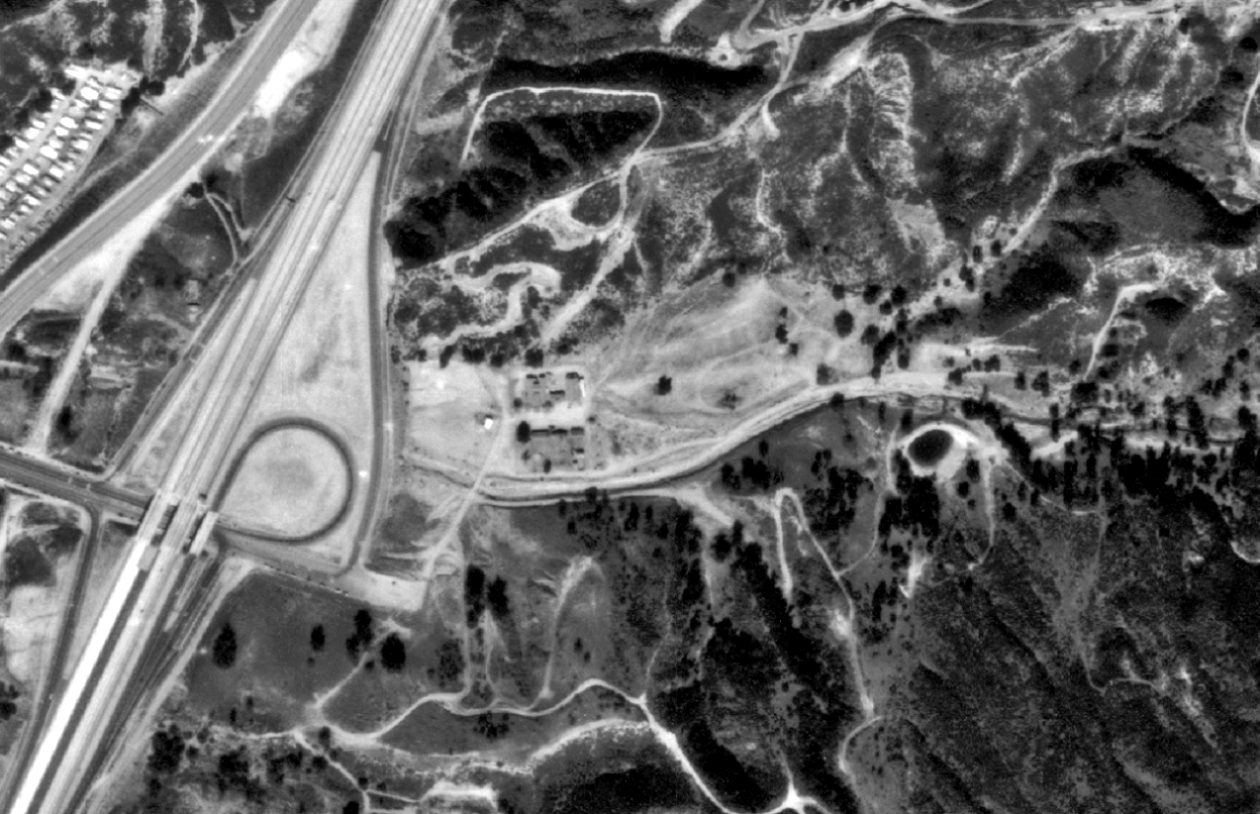
Major changes at the mouth of Whitney Canyon. The Antelope Valley (14) Freeway has been built. The Mint Canyon cut-off has been moved west right over the Cook ranch, which is now gone. The trace of the old section of cut-off road is still visible between the new road and the freeway.
1976 (tg-7600_19-11)
1994 (napp-2c_6860-150)