Wickham Canyon Photos
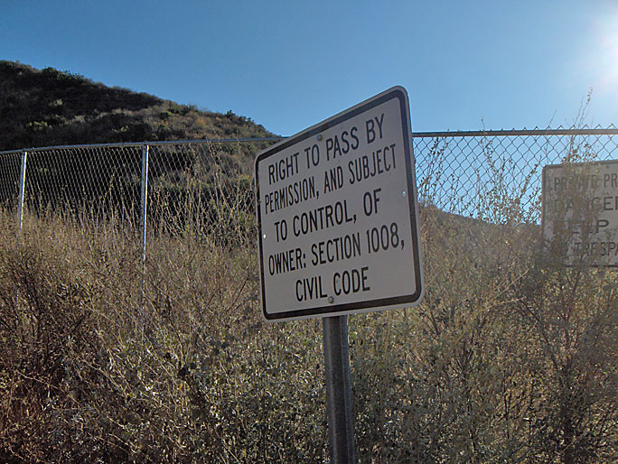
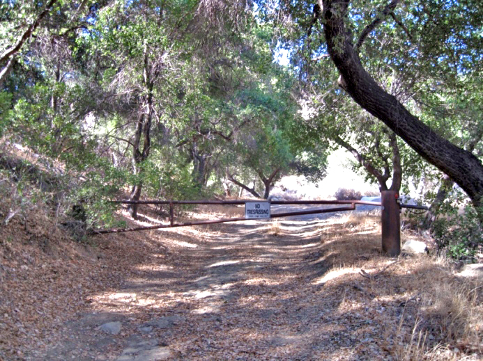
At the mouth of Wickham Canyon is a fence with a locked gate. There are two signs to keep people away. (photo taken on 12/20/2008)
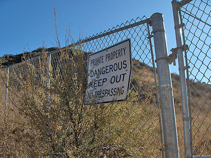
Second sign (12/20/2008)
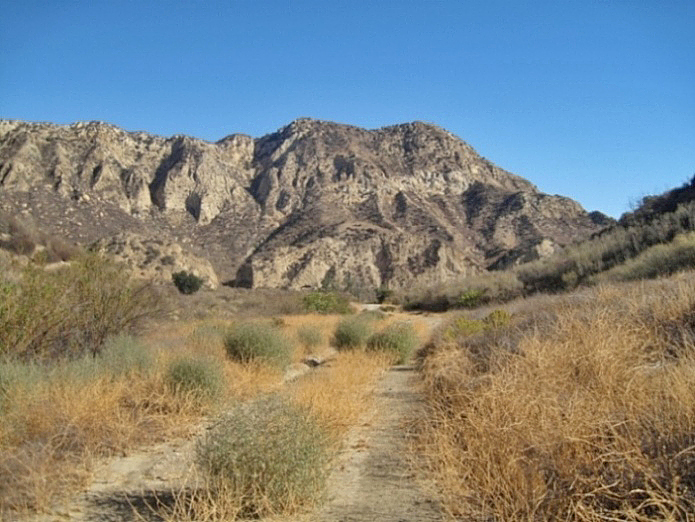
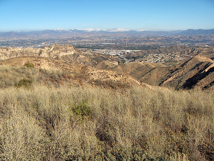
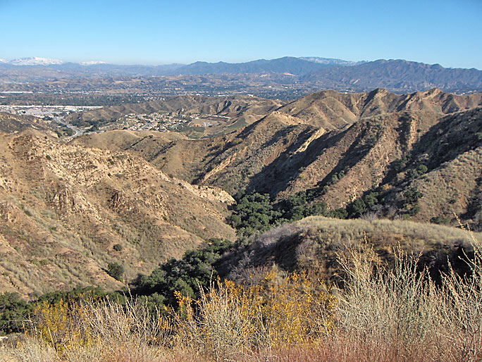
A look at the property north towards the mouth of the canyon (10/26/2014)
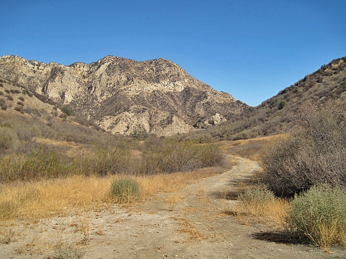
A little deeper into the canyon looking north (10/26/2014)
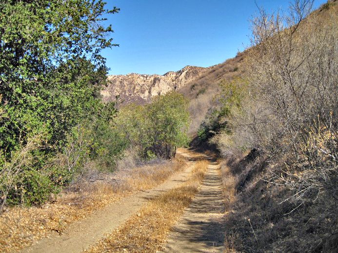
The road up the canyon is in good shape and could be used by a passenger car. The creek is always on the right (west) side of the road as you travel south up the canyon. (10/26/2014)
(10/26/2014)
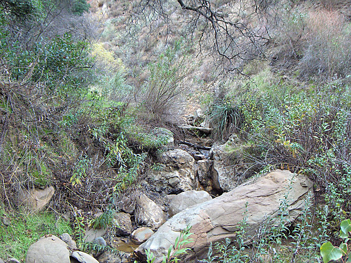
The creek bed is dry here, but past the Wickham home site there is some flowing water. (12/24/2008)
Evidently at one time this pipe ran all the way into the canyon past the home site (12/20/2008)
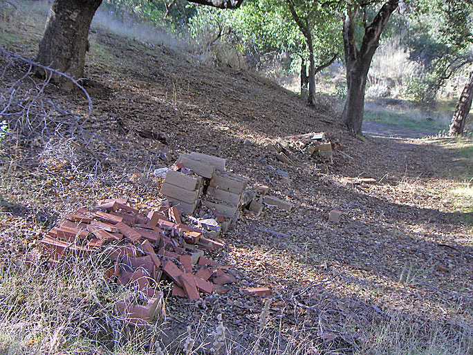
Along the road there are a couple of turnouts into flat areas. These bricks were removed by 2014. (12/20/2008)
On the ridge before reaching the home site are sets of man-made rockwork like this (12/20/2008)

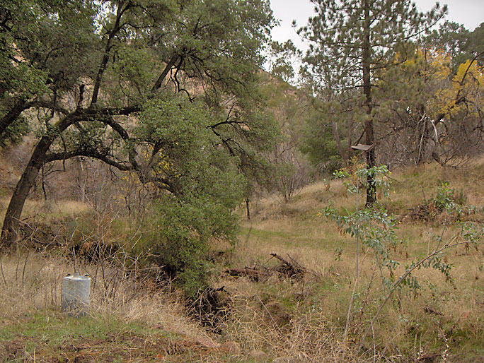
Wickham home site area (12/24/2008)
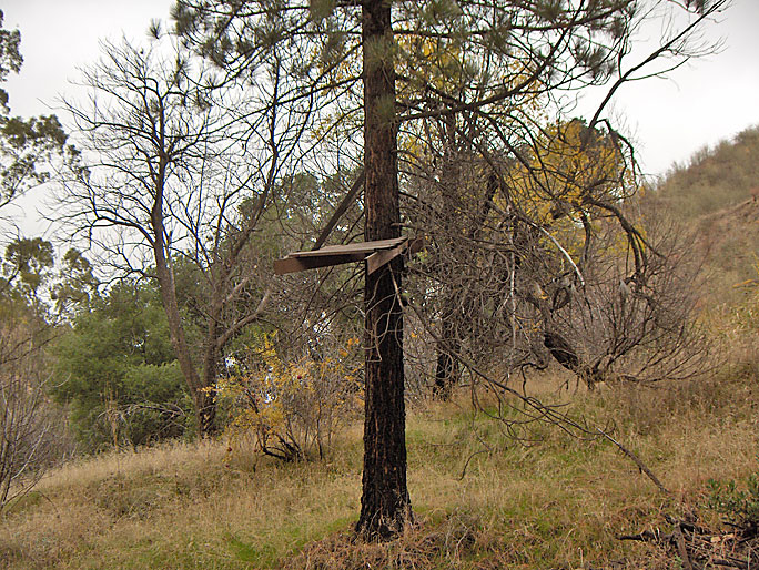
Platform in tree on the left (east) as you enter homesite area (12/24/2008)
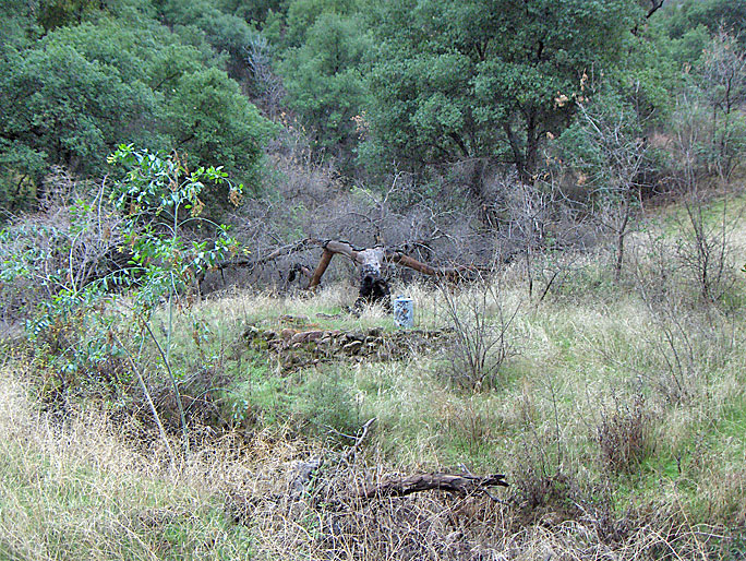
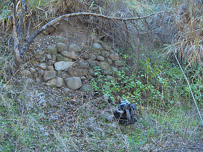
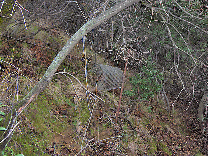
Stone work and tank on the right (west) on the other side of the creek bed (12/24/2008)
On the tank side of the creek bed looking at the tree with the platform in the distance (12/24/2008)
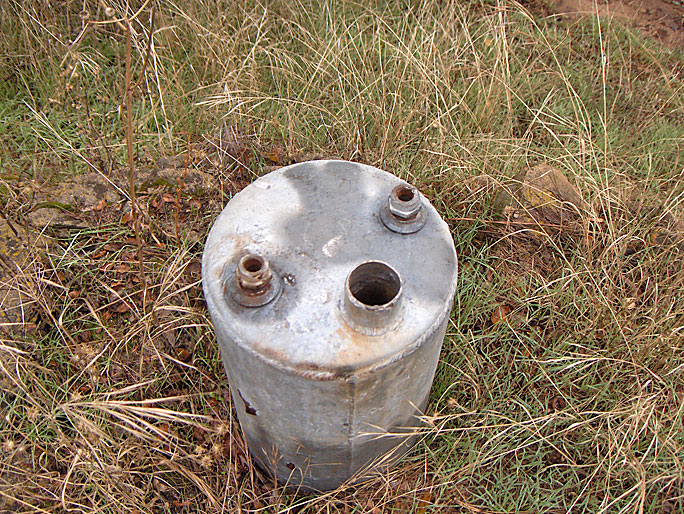
Closer view of tank (12/24/2008)
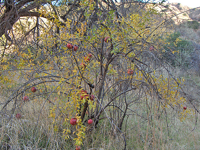
Here is a pomegranate tree, obviously planted by the Wickhams (12/24/2008)
Here's that pipe again at the home site (12/24/2008)
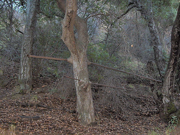
This tree had two pipes going directly through it (12/20/2008)
Remains of a fence (12/24/2008)
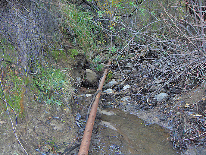
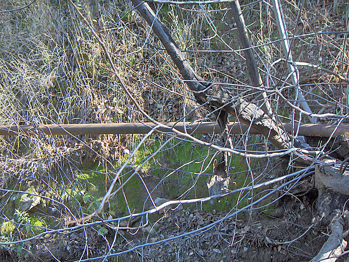
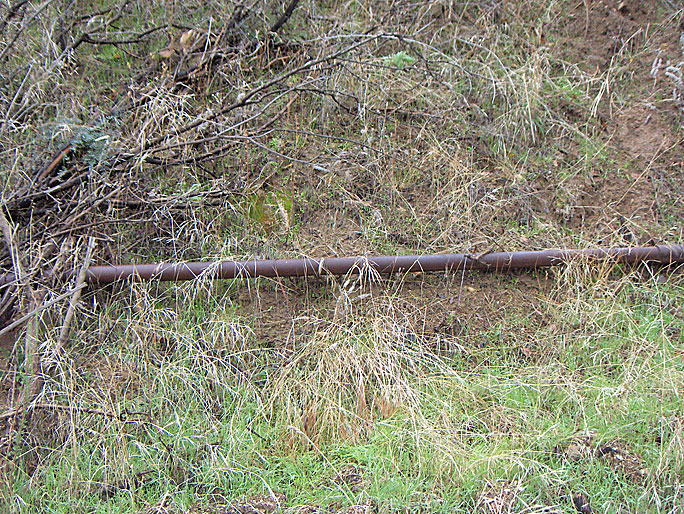
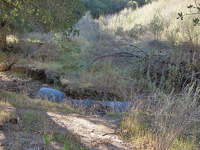
The pipe keeps going past the home site. Here it's in the creek bed. (12/24/2008)
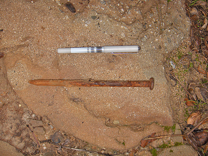
Around here I found this large nail (12/24/2008)
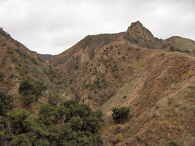
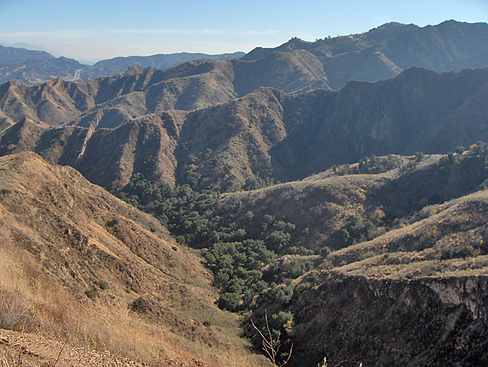
Looking up you can see Sand Rock Peak in the distance. In the lower left center of the photo, the creek narrows. This is a a few hundred yards past the home site. (12/24/2008)
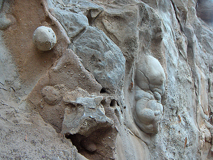
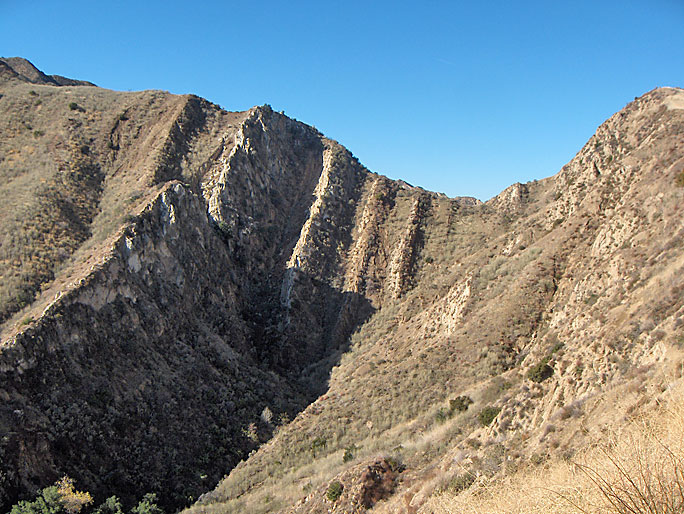
As the canyon narrows, there are these interesting erosional features higher up on the west side (12/20/2008)
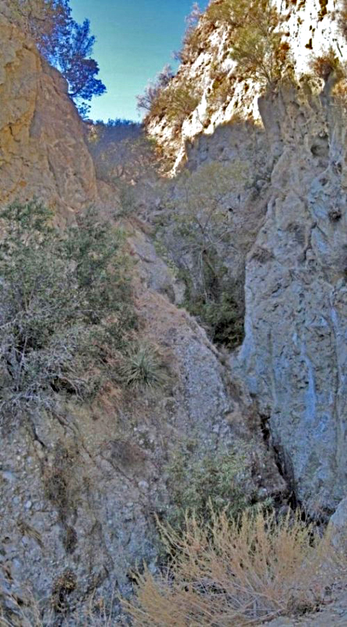
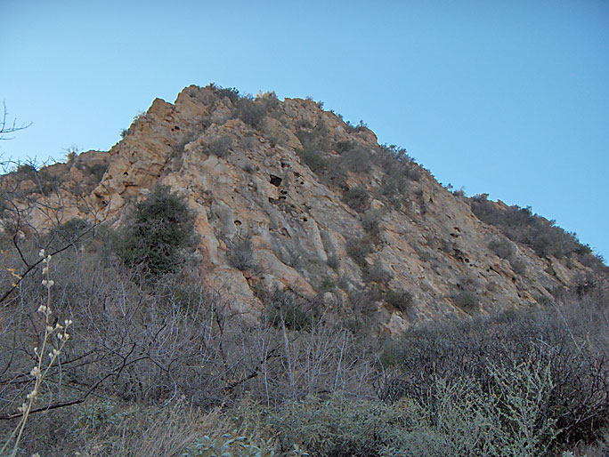
This is as far as I could get. The canyon is very narrow here and there is a waterfall below the picture that blocks the creek bed. The west (right) side is deeply eroded sandstone. At this point, we are not very near the axis of the Pico anticline where the majority of oil wells were drilled from Pico to East Canyon. Anyone really wanting to find oil in this canyon would have had to gone deeper. There is no road or path beyond this point so there is no way drilling could have been done in the canyon past the Wickham home site. In fact, there is no evidence of drilling in the canyon past the Overman 1 well site. The Cormac 1 well was drilled high above the canyon. (10/26/2014)
The east (left) side is sandstone and this conglomerate (12/20/2008)
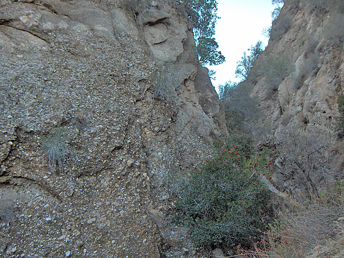
Coming back from the Wickham home site, there is a road to the west that goes over the creek bed over this pipe here. It zigzags up the a ridge to the Cormac Number 1 well site just below Sand Rock Peak (see the Oil webpage). (12/20/2008)
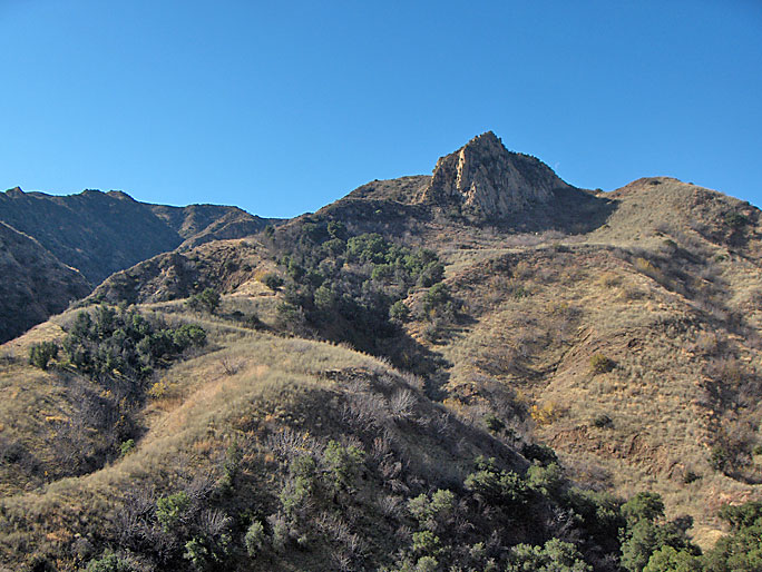
Looking up at Sand Rock Peak with an elevation of 2511 feet. The road goes up there. A large portion of the road has been destroyed by landslides so at one point I had to hike straight up a ridge to get to the well site. (12/20/2008)
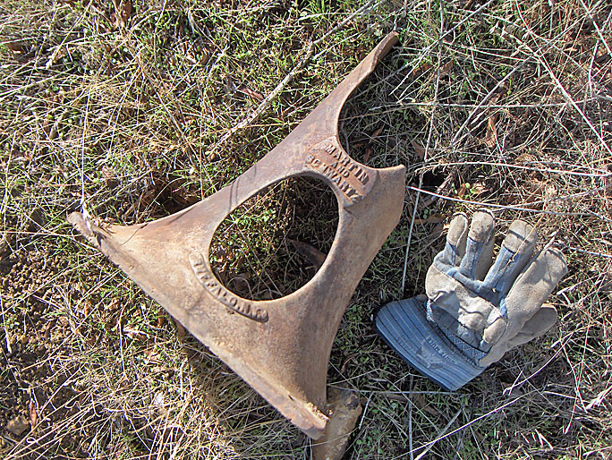
On the road is this object which says Martin and Schwartz, Buffalo, N.Y. (12/20/2008)
Clearer view of the peak. I was too tired to attempt a climb to the top. (12/20/2008)
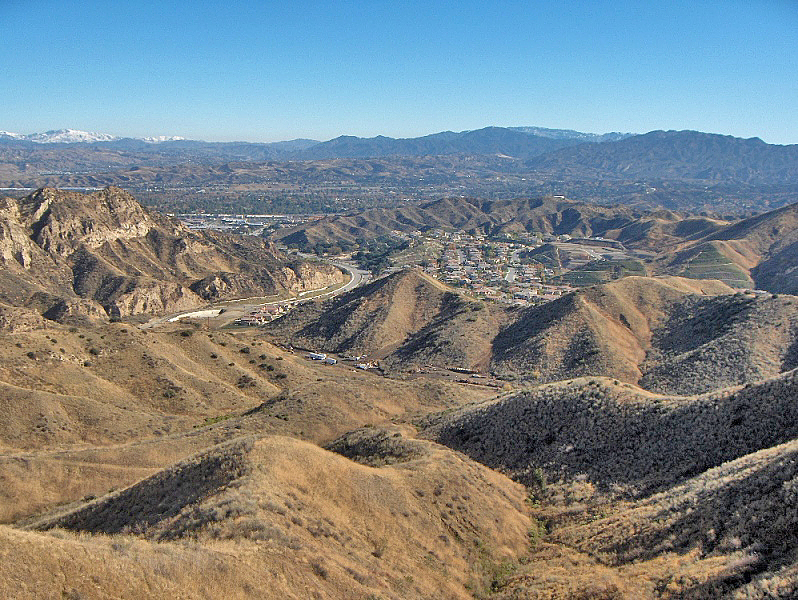
Looking down on the Cormac well site in the foreground and the Santa Clarita Valley in the background. There is snow on the peaks in the distance ( 12/20/2008).
This is the western tributary of Wickham Canyon looking northeast from the southern side a little below the previous photo (12/20/2008)
This is the same western tributary looking east (12/20/2008)
This interesting shot is of the end of the western tributary looking west toward Pico Canyon. The high point on the right is where the previous photo was taken from. This photo shows the steep beds of the north flank (although the camera angle makes it look like the south flank) of the Pico Anticline. The more resistant beds erode slower so they stick out more. (12/20/2008)
Looking down at the mouth of Wickham Canyon with Pico Canyon Road in the distance. The housing tract on the right center is the Southern Oaks tract. This photo was taken before the storage area at the mouth of the canyon was removed. (12/20/2008)