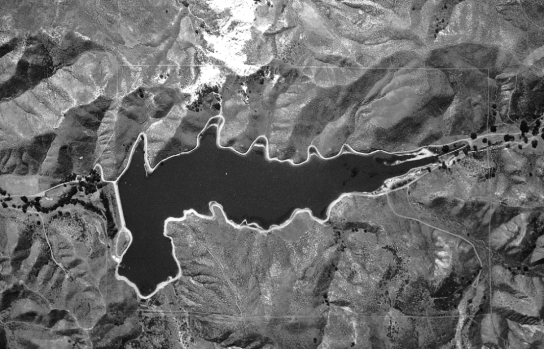
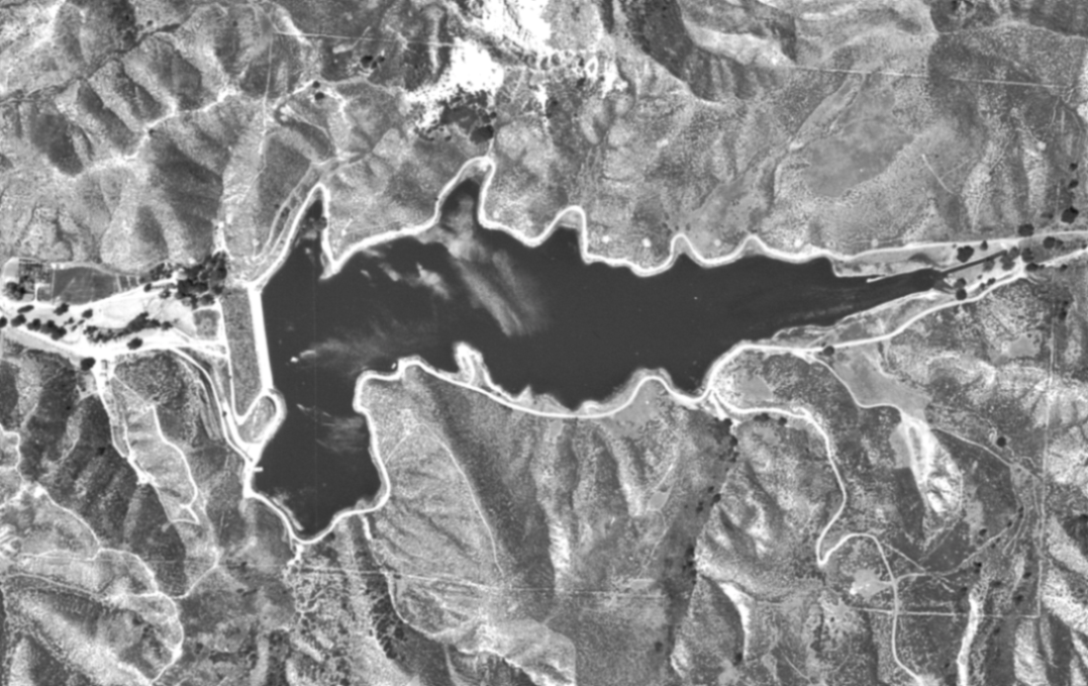
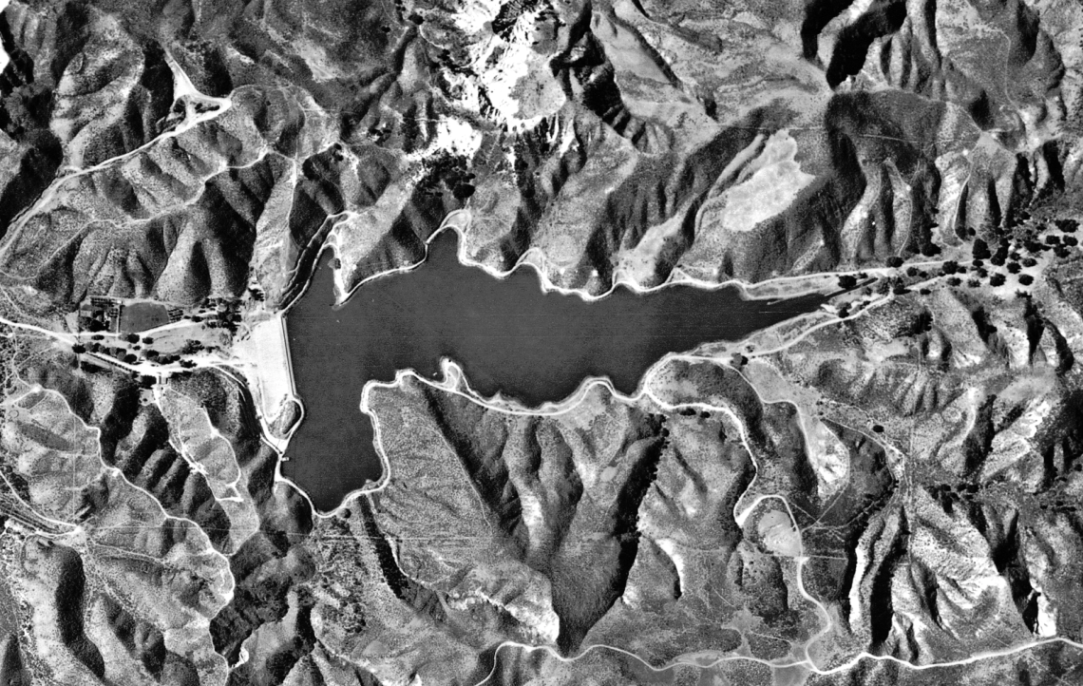
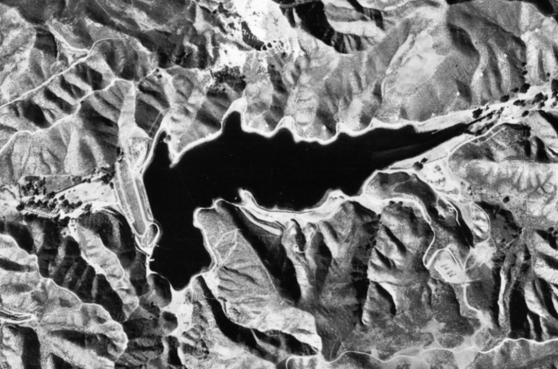
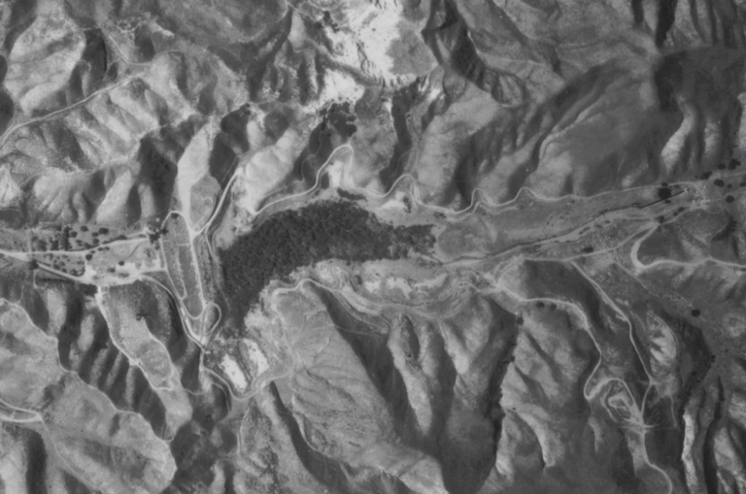
Dry Canyon Reservoir Historic Aerial Photos
Except for the last photo, which comes from Google Maps, the following aerial photos came from the University of California at Santa Barbara's FrameFinder website.

1928
1930
1947
1952
1959

1968
1976
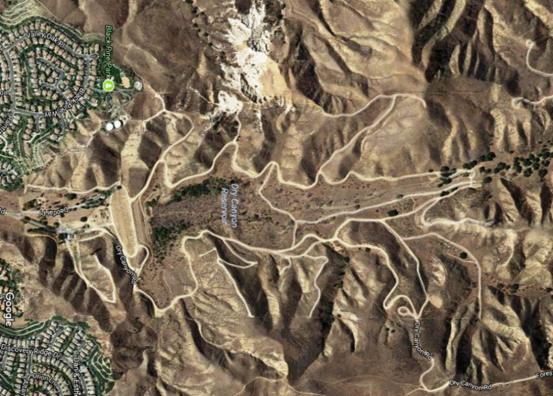
Around 2015