Oil Well Locations in Elsmere Canyon
Oil well locations in Elsmere Canyon have been shown on a number of maps over the years. Here are some of those maps.
There are no oil derricks left in Elsmere Canyon. I was able to locate almost all of the 34 locations marked on the maps. Only about 6 actually had the well head still in place, which means they were improperly abandoned. Some have been properly abandoned since I wrote this. All the others are covered over. Only a flat area marks their location. There is usually some junk (usually just cables and pipes) in the immediate area. Typically, there is also dried up petroleum on the ground.
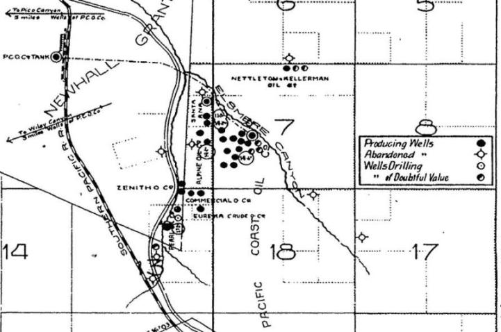
From California State Mining Bureau Bulletin No. 32: Production and Use of
Petroleum in California, by Paul W. Prutzman, 1904. This map shows the pipeline from Elsmere Canyon to a tank below Newhall next to the railroad tracks. This is where the first oil refinery was located. It also shows oil tanks in Elsmere Canyon.
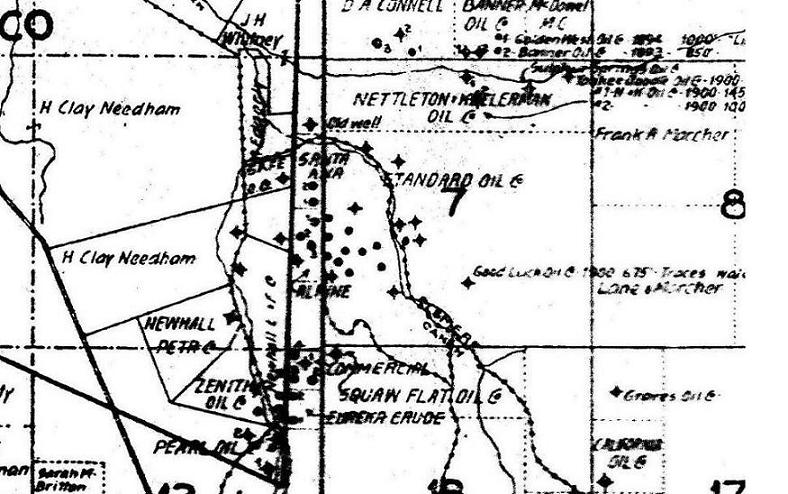
From California State Mining Bureau Bulletin No. 63: Petroleum in Southern
California, by Paul W. Prutzman, 1913.
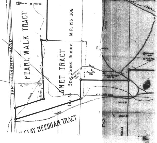
This plat map was with the DOG request to drill a new well for the Shallow Field Oil Company from 1921. The middle of the map is the ridge between Whitney and Elsmere Canyons. It shows the Fink 3, Fink 4, and Amet wells. It also shows where the Shallow well was to be drilled - about at the junction of Elsmere and Newhall creeks. In the darker area below the road, it shows the Clampitt 13 and Clampitt 11 wells.
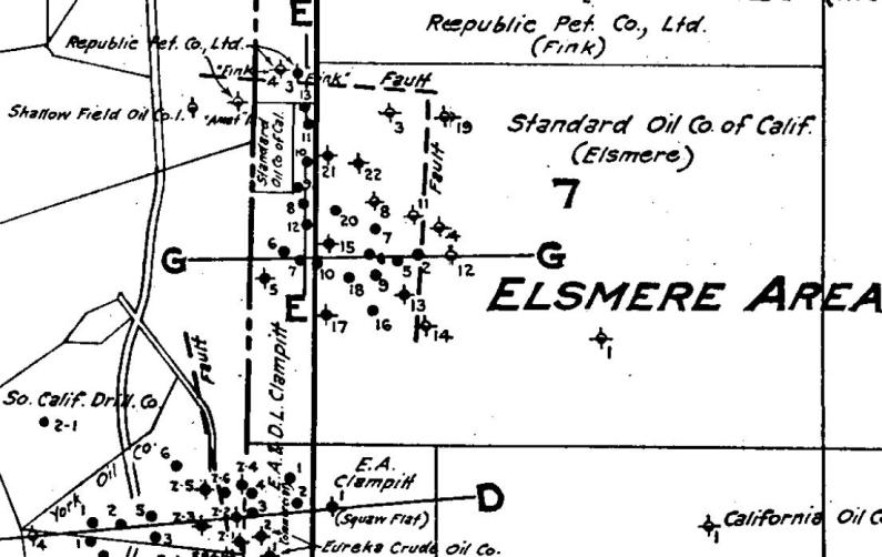
From California Oil Fields, Summary of Operations of the State Oil and Gas Supervisor,
Issued by Department of Natural Resources, Division of Oil and Gas, Vol. 20 No. 2. Report on Newhall Oil Field,
by R. W. Walling, 1934.
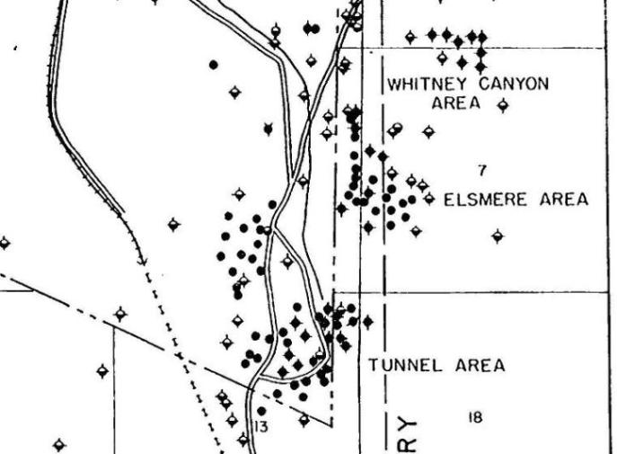
From Oakeshott's Bulletin 172 (see sources) from 1958. The map actually is from 1954.
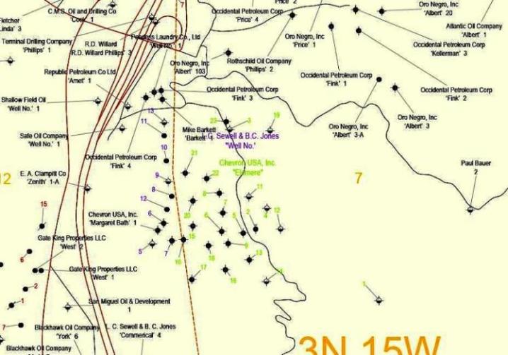
From the California Division of Oil, Gas, and Geothermal Resources website. They also have a spreadsheet with GPS locations based on the estimated map locations. Date: after 1977.
In 1946 title to the Clampitt wells was transferred to Leah C. Sewell and Barbara C. Jones. The "C" stands for Clampitt in Barbara's name and Leah's name, too. They were E. A. Clampitt's daughters. E. A. died in 1919 and left everything to his wife and daughters.
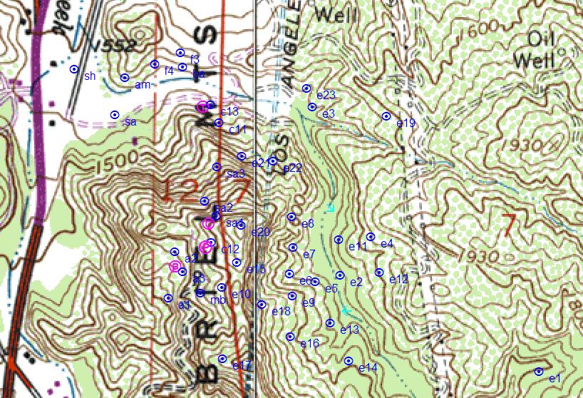
Most of these locations were mapped by me.
Legend: e=Elsmere,sa=Santa Ana,a=Alpine,mb=Margaret Bath,f=Fink,sh=Shallow,sa=Safe,am=Amet,ba=Barkett
Pink: B=boiler,C=jackline cradle,P=jackline plant,T=large tank,blue arrow=side road
Note:I do not map the locations of the sh, sa, am, and f wells. These are the locations that the DOG has.
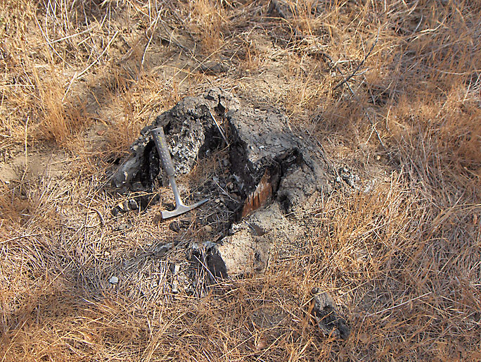
This is all that remains of the first oil well in Elsmere Canyon. It could be one of the corners of the derrick. The actual well hole was capped off below ground level, so it is not visible. Elsmere 1 was "spudded" (drilling started) in 1889 by the Pacific Coast Oil Works Company in a tributary of Elsmere Canyon. They drilled to 1376 feet. Minor amounts of oil and gas were found. The well was quickly abandoned, but they were encouraged enough to look elsewhere. (Photo taken on 9/1/2007)
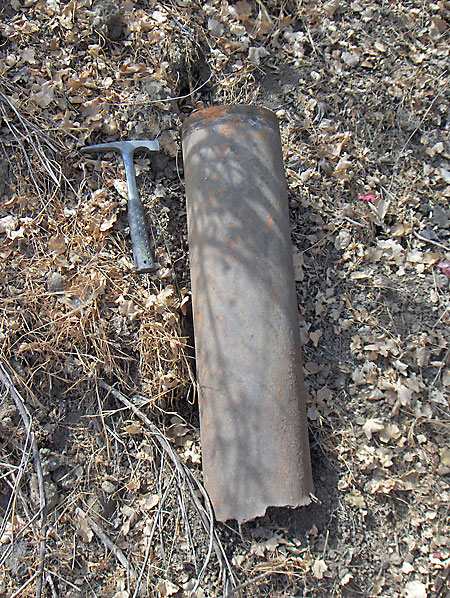
This short section of pipe is from Elsmere 1 and is one of the oldest oil-related relics in Elsmere Canyon. (9/1/2007)
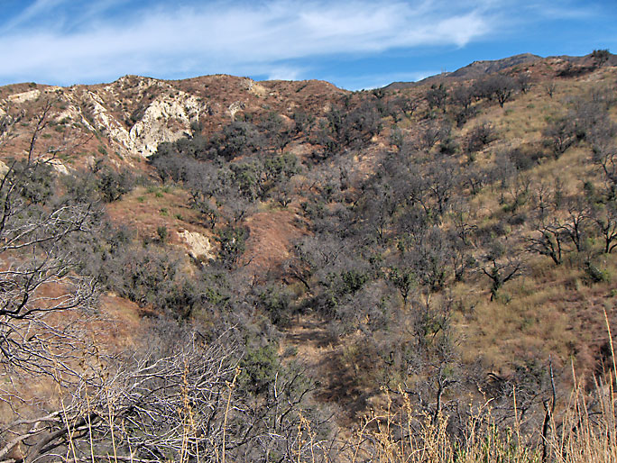
Another view of the Elsmere 1 site higher up and further away. (12/24/2006)
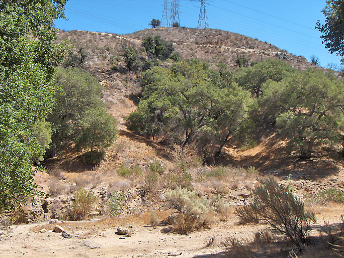
Elsmere 2 was located on the flat area on the other side of the canyon floor. Spudded in 1890. (9/15/2007)
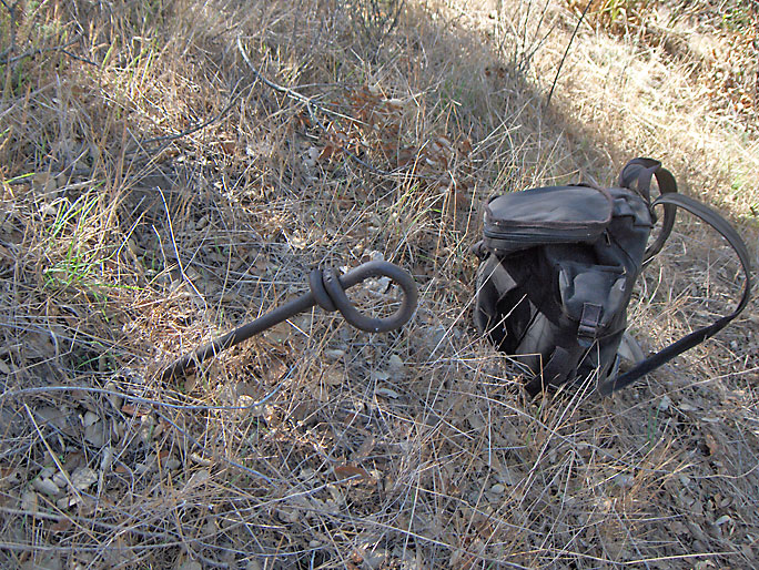
On the hill next to Elsmere 2 is this looped bar that probably held a support cable for the derrick. (10/20/2007)
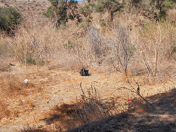
Elsmere 3 was located on the north side of the canyon bottom just before the canyon narrows. The area around it has been used as a dump for the rancher at the mouth of the canyon and so it should be avoided. There is nothing left, anyway. Spudded in 1891. (9/16/2007)
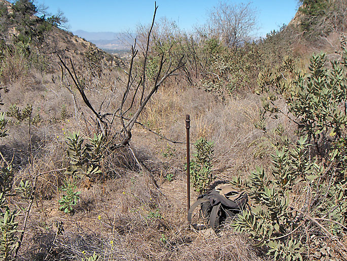
Elsmere 4 was located above the north side of the creek. Spudded in 1891. (10/20/2007)
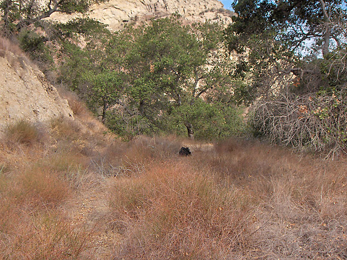
Elsmere 5. Spudded in 1898. (9/1/2007)
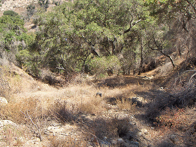
Elsmere 6. Spudded in 1898. (9/15/2007)
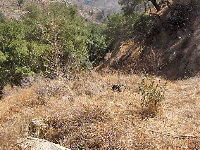
Elsmere 7. Spudded in 1898. (9/15/2007)
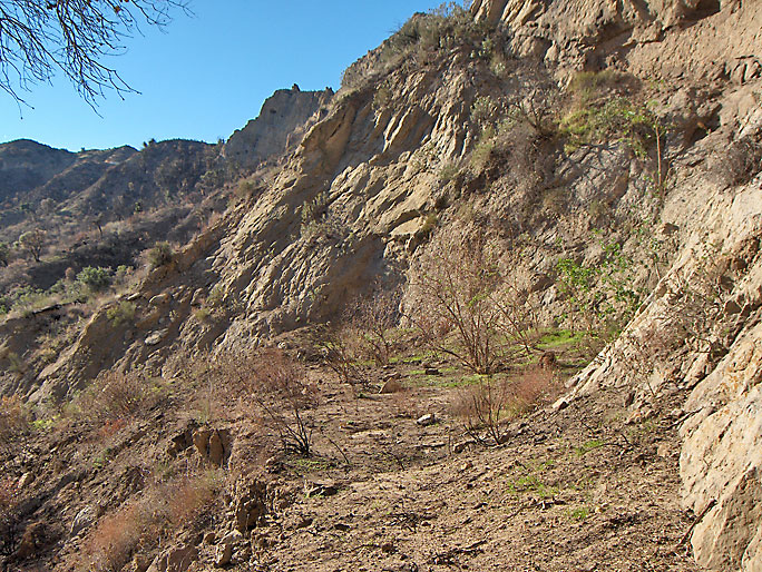
Elsmere 8. Spudded in 1899. (1/10/2009)
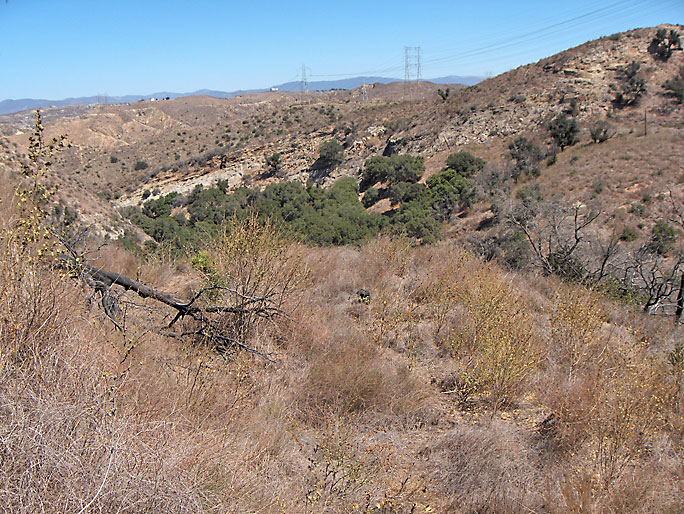
Elsmere 9. Spudded in 1899. (9/15/2007)
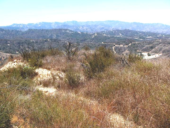
Elsmere 10. Spudded in 1899. (7/29/2007)
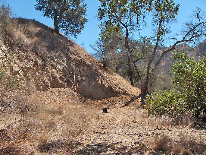
Elsmere 11. Spudded in 1899. (9/15/2007)
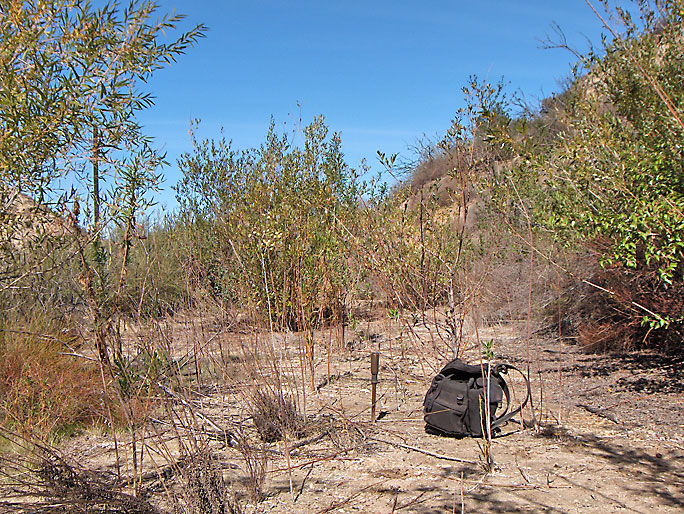
Elsmere 12. Spudded in 1900. Located near Elsmere 4. (10/20/2007)
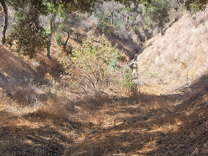
Elsmere 13. Spudded in 1899. (9/15/2007)
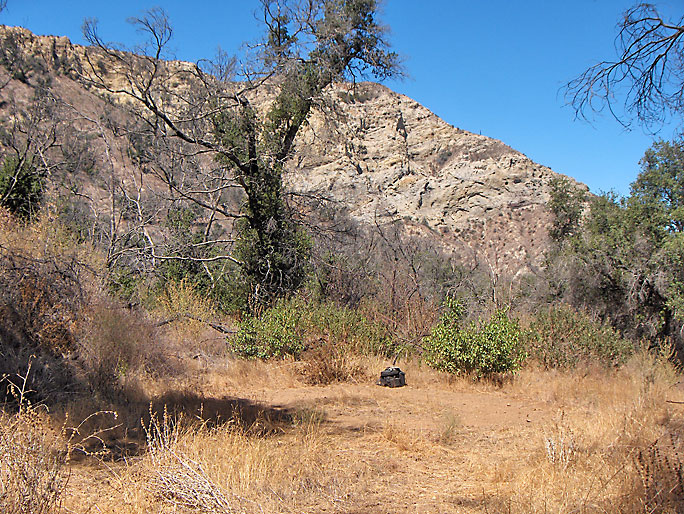
Elsmere 14. Spudded in 1900. (9/15/2007)
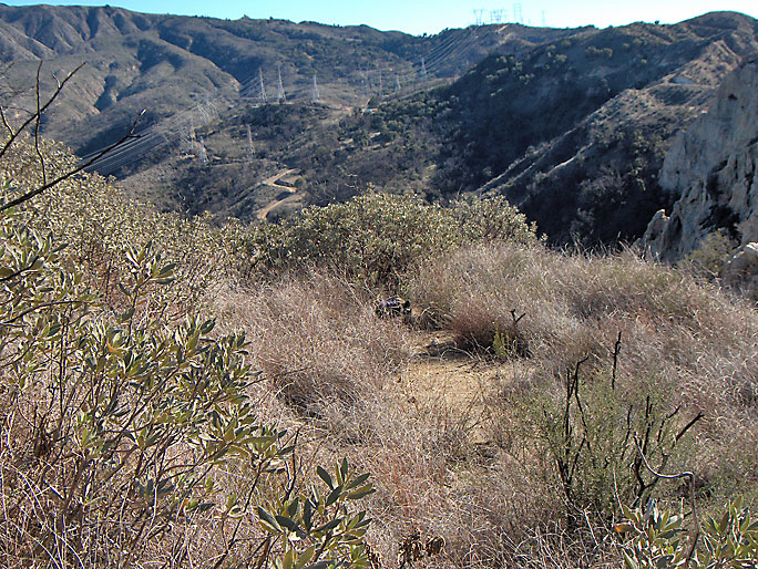
Elsmere 15. Located on the high south ridge overlooking the canyon. Spudded in 1900. (12/22/2007)
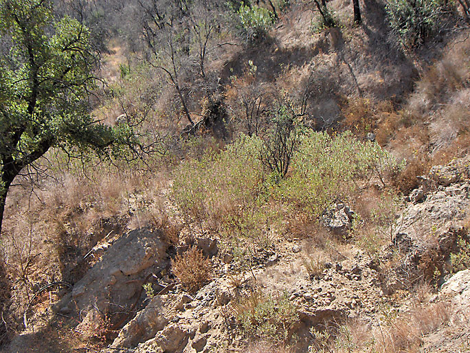
Elsmere 16. Note hardware over the side on the left. Spudded in 1900. (9/15/2007)
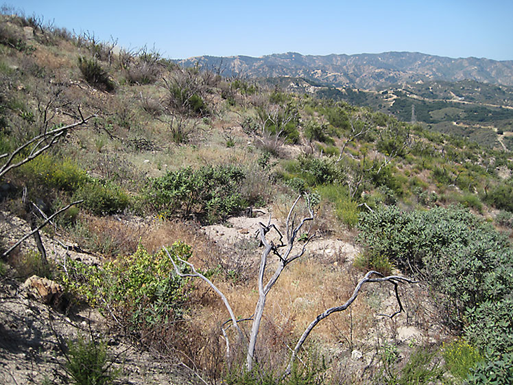
Elsmere 17. Spudded in 1900 (?). (5/15/2009)
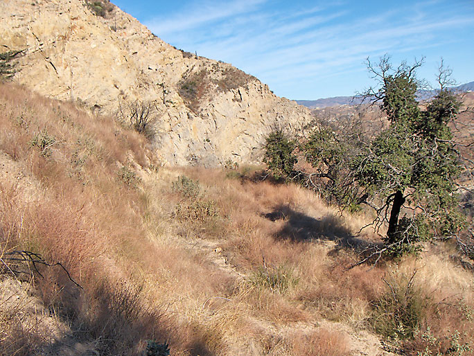
Elsmere 18. Spudded in 1900. (12/24/2006)
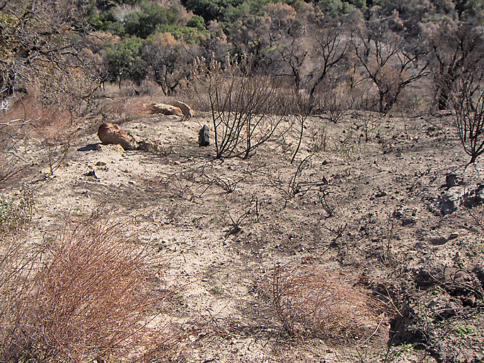
The fire of 2008 burned away the brush that was covering what was left of this steep road. It loops almost straight down from Elsmere 18 and is visible on the Arnold 1905 photo.
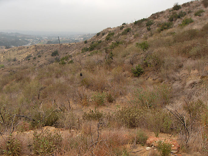
Elsmere 19. Spudded in 1900. That black thing in the middle of the picture is my backpack and is close to where the derrick would have been. (11/11/2007)
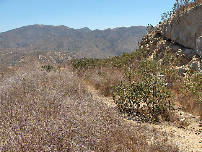
Elsmere 20. Located on the high south ridge overlooking the canyon. Spudded in 1900. (7/29/2007)
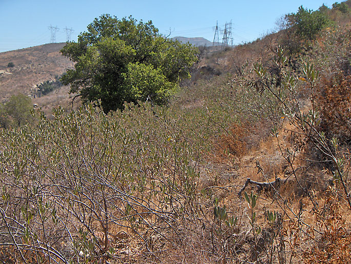
Elsmere 21 was located in the middle of this picture. The road to it is almost totally eroded away and the site is covered with brush including a lot of poison oak. Spudded in 1916. (9/12/2007)
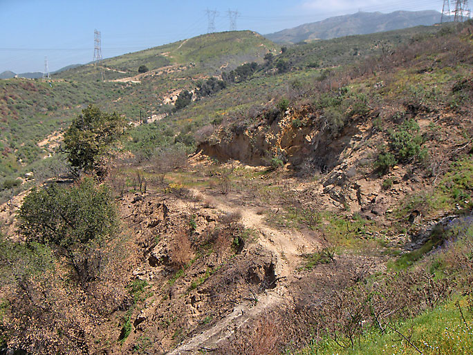
Elsmere 22. Spudded in 1917. (3/29/2009)
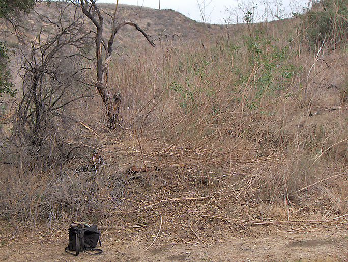
Elsmere 23. Spudded in 1953. The well was past the tree, not where my pack is. (11/11/2007)
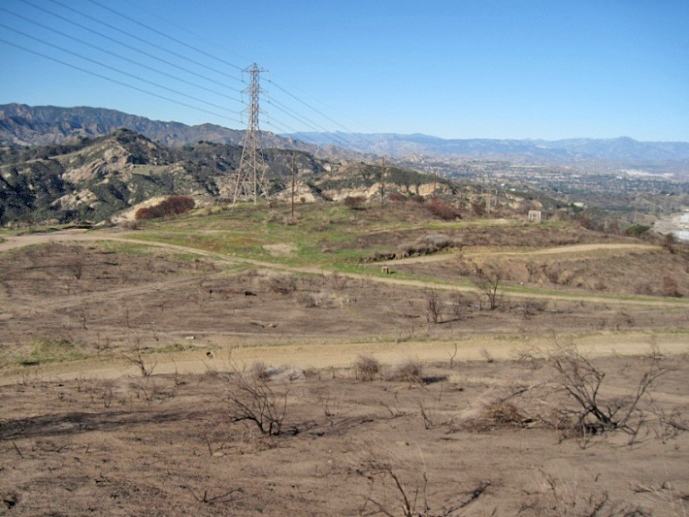
The Elsmere 24 well is located on a high flat area with a view of the San Fernando Valley on the south road out of Elsmere Canyon. It is not in Elsmere Canyon. There are a lot of pipes in the area but they are not pipes that would be used for oil wells. It is supposed to be near the main left to right road in the photo. This well was spudded in 1959. (1/10/2020)
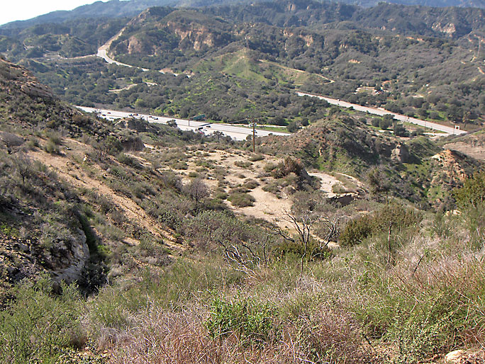
Margaret Bath 1 site. Margaret Clampitt Bath is the granddaughter of Don and Eunice Clampitt and the daughter of Cecil and Audrey Clampitt. She was born in 1933 and was alive in 2018 living in Arizona. I know this because she emailed me and we corresponded a little bit. She had inherited this land from her grandmother and finally sold it, including the mineral rights, to Standard Oil. Her married name was Bath. (2/23/2008)
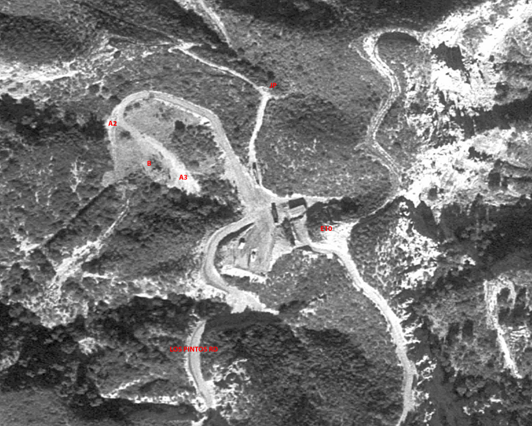
Aerial photo from 1980 showing Margaret Bath site and surrounding area (north on top, south on bottom). The actual well site is just east of the pad and the end of Los Pinetos Road. This photo shows two vehicles parked on the pad with the well site where the structures are. The red markers are E10 - Elsmere 10 well site, JP - Jack plant site, A2 - Alpine 2 (Clampitt 6 - Sewell and Jones 6) site, B - Boiler site, A3 - Alpine 3 (Clampitt 7 - Sewell and Jones 7) site.
Copyright Note: This image is NOT in the public domain and is protected by the copyright laws of the United States.
Used by permission of historical aerials dot com.
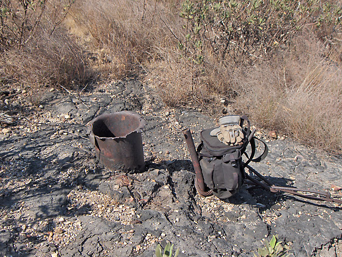
Santa Ana 1. Spudded in 1901. Later Clampitt 8, and now Sewell and Jones 8. (7/8/2007)
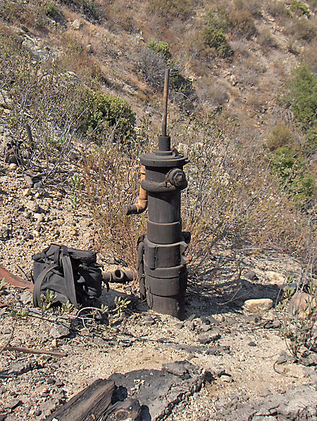
Santa Ana 2. Spudded in 1902. Later Clampitt 9, and now Sewell and Jones 9. (7/8/2007)
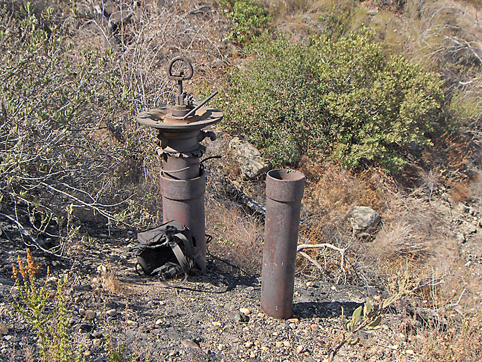
Santa Ana 3. Spudded in 1902. Later Clampitt 10, and now Sewell and Jones 10. (7/8/2007)
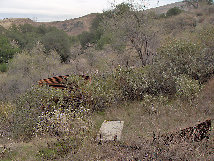
Clampitt 11, now Sewell and Jones 11. Spudded in 1919. (2/10/2007)
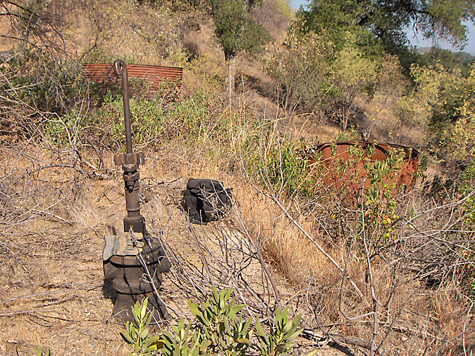
Closer view of Sewell and Jones 11 well head. (7/8/2007)
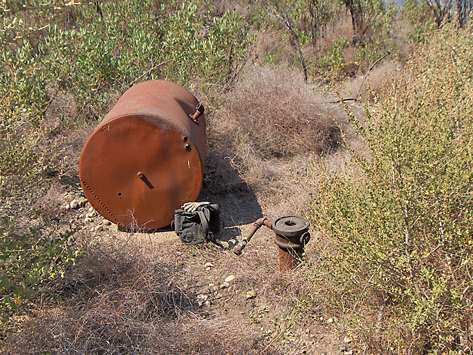
Clampitt 12, now Sewell and Jones 12, located near the jack plant. Spudded in 1918. (7/8/2007)
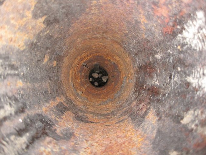
Looking down into Clampitt 12. It's nearly filled up.
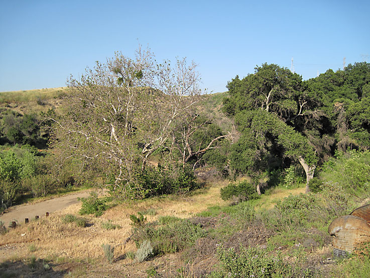
Clampitt 13 (now Sewell and Jones 13) is located somewhere on the flat area at the bottom of the creek bed just east of the large tank. Spudded in 1920.
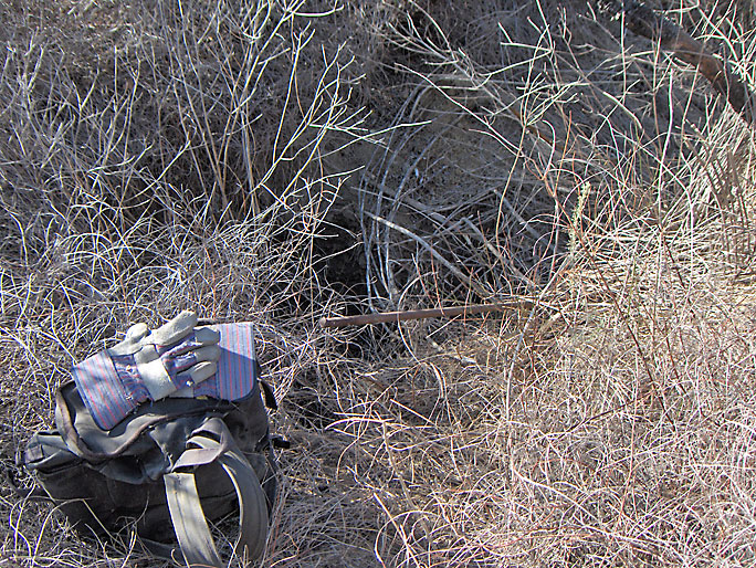
This difficult to find site is at the end of an old road which winds up in a south easternly direction from the bottom of the canyon starting from the main fork. From the site, about 360 feet above the floor of the canyon, Newhall can be viewed in the distance. The EIR reports an open oil well shaft here. This picture shows the shaft, now filled in. This looks like it could be the site of Graves Oil Company of Prutzman (CSMB Bull. No. 63, 1913). Prutzman (CSMB Bull. No. 32, 1904) shows the well site (although not named) as abandoned by 1904. Walling (1934) shows it as a Pacific Coast Oil Company well. (11/23/2007)
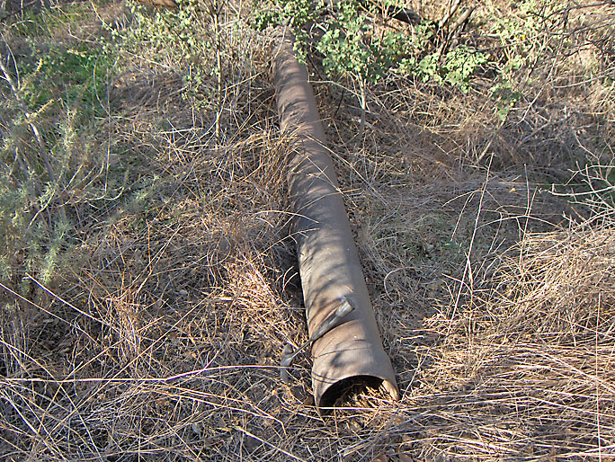
Here is an old 20-foot section of pipe near the above site. There are two such sections in the area, besides the usual bricks, pipes, and nails. (11/23/2007)
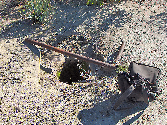
This site was even harder to find than the last site. The authors of the dump EIR could not find it, although they did find some of the road to the site. There was the usual junk here - nails, bricks, and old pipes. There was also an unusual pile of about 30 pipe couplings (see artifacts page for picture). Prutzman (CSMB Bull. No. 63, 1913) reports that in 1900 California Oil Company drilled a well in the sw corner of the nw quarter of Section 17. Based on my GPS reading, this well is at the very eastern edge of Section 18. However, it is close enough to Section 17 to have been placed there in the early years of 1900. Prutzman (CSMB Bull. No. 32, 1904) shows the well as abandoned by 1904. Eldridge and Arnold (USGS Bull. No. 309) also reports the well as belonging to the California Oil Company. Walling (1934) does not even show a well at this location. (12/24/2007)
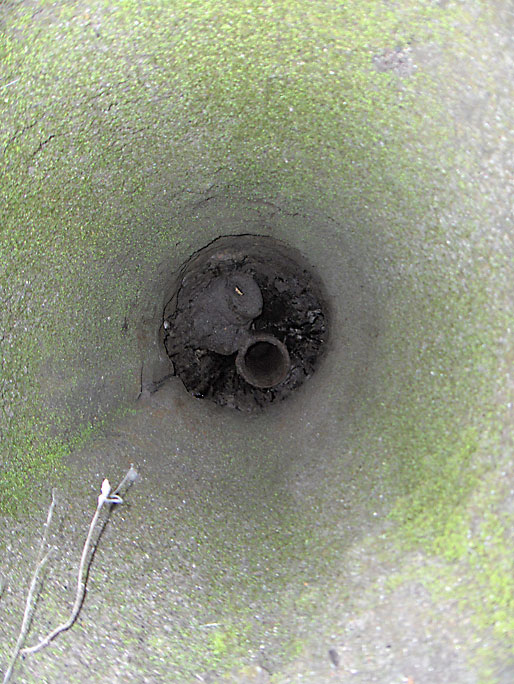
Here is the view looking down the well shaft. (12/24/2007)
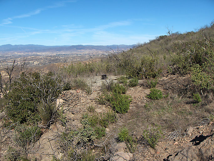
Here is the site from a little further away. (12/24/2007)
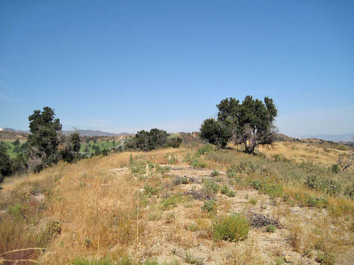
Just to the left of the tree on the right is the site of Fink 3, spudded in 1920 and abandoned in 1937. On the very left foreground of the photo is the site of Mike Barkett 1, spudded in 1953 and abandoned in 1957. This is the low ridge between Elsmere and Whitney canyons looking west from the road. (7/4/2009)
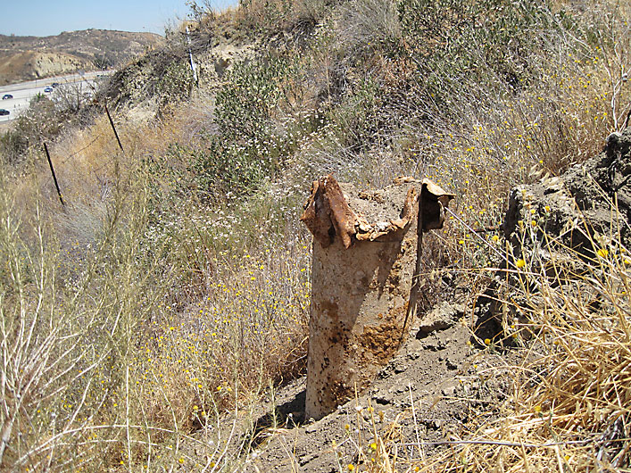
I'm almost sure that this is Fink 4 (spudded in 1921). The pipe is 16 inches in diameter and filled with earth. The GPS location almost matches the location of Fink 4 in DOG records. DOG well records state that Fink 4 was abandoned on 6/29/1937. From 97 feet to 5 feet below the surface, the hole was filled with dirt. From 5 feet to the surface, the hole was filled with cement. The casing was 16 inches in diameter. It is apparent that the top part of the casing has broken off, probably caused by the removal of earth from construction of the 14 freeway and the private road between the freeway and the well site. This site is west of Fink 3 on the same ridge. (7/4/2009)
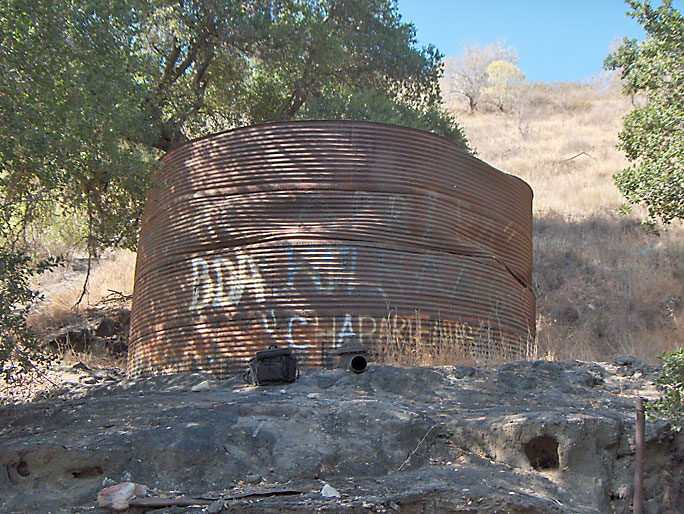
Largest tank in Elsmere Canyon - 15-ft in diameter and 8-ft high. (7/8/2007)
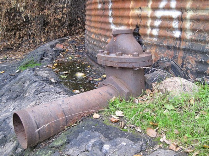
Tank drain pipe (7/8/2007)


