Rice Canyon Photos

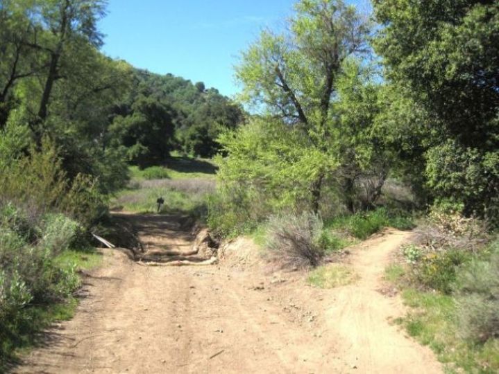
The heavy rains of early 2023 washed out the main road up Rice/East canyons. (4/4/2023)

Another view. (4/4/2023)

Just pass the washed out section of the road is the sign in the background indicating that East Canyon is up the road to the left and Rice Canyon is up the trail to the right. (Photo taken on 4/4/2023)

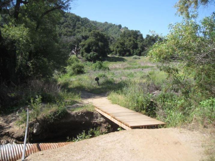
In early 2024, a wooden foot bridge was erected over the creek where the road washed out in 2023. (Photo taken on 5/9/2024)

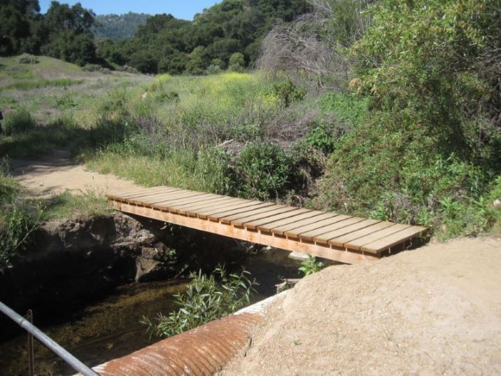
Another view of new bridge. (5/9/2024)

In March of 2025, the foot bridge was moved to the right and the road was bulldozed to allow vehicles to travel up East Canyon. The trail with the bridge forks off to the right in the foreground of this photo. (4/11/2025)

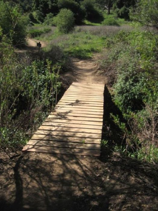
View of foot bridge in its new position. (4/11/2025)

The creek still has water in many places at most times of the year (11/9/2008)

This fallen tree has formed a "door" (11/9/2008)

This fallen oak is at the end of the main Rice Canyon trail. (11/26/2009)

From farther away above the end of the trail looking northeast. If they were still there, you would see Rice 2 and Rice 3 oil derricks in this photo. On the right, you can see the fallen oak from the previous photo. (11/26/2009)

In many places the rocks in the creek bed are stained with oil (11/9/2008)

Old pipe in the creek bed (11/26/2009)

View north from the trail (10/26/2008)

High up and deep in the canyon looking north (10/26/2008)

Highest peak overlooking the canyon on the east. The steep beds of the south flank of the Pico anticline are very apparent. (10/17/2009)

This view is looking north west at the first significant western tributary of Rice Canyon. From the trail you can't see these beds showing the north flank of the Pico Anticline. (10/26/2008)

This view towards the west shows the western tributary at the second fork of Rice Canyon. (The first fork is at East Canyon.) The creek runs up the Oat Mountain syncline. The south flank of the Pico anticline is on the right (north) of the creek and the north flank of the Oat Mountain Anticline is on the left (south). In the distance you can see the the beds of the north flank. (10/26/2008)

From a lower view than the previous picture you can see the south flank of the Pico Anticline in the foregrand and the north flank of the Oat Mountain anticline in the far background. Between them is the Oat Mountain syncline. (10/26/2008)

Looking up east from down in the canyon you can just see the top of the oak just off the East Canyon road where hikers rest under. It is about halfway up the slope. (10/17/2009)

Oily water in the creek (11/8/2008)

Raccoon tracks in the creek bed (10/17/2009)

Off a side road is this foundation. There was a lot of ranching going on in the mouth area of Rice/East Canyon as you can see by the open areas and old fences. This may have been a house for one of the ranches. My black backpack is laying on the foundation. (11/9/2008)

Above the foundation is this water tank (11/9/2008)


