Tunnel Station Maps
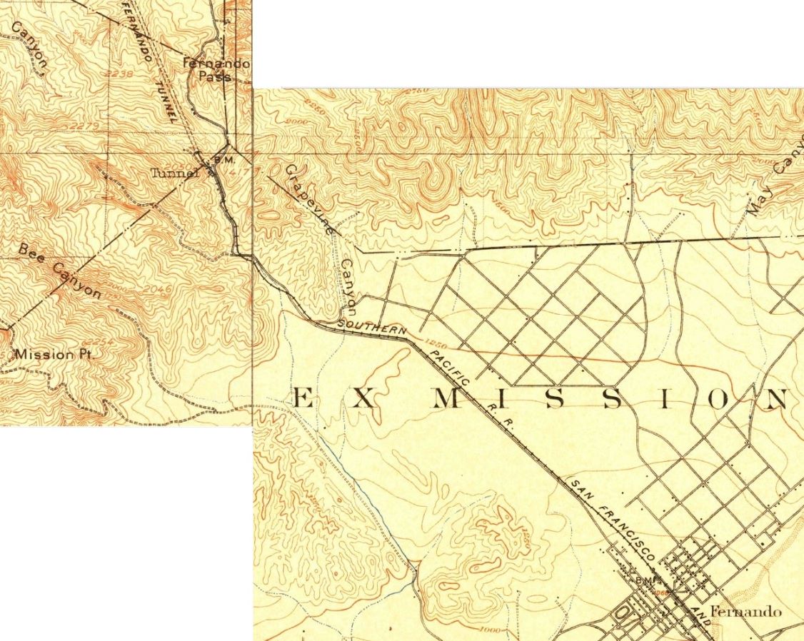
Tunnel Station ("Tunnel") on the 1903 Santa Susanna topographic map (on left) pasted next to the Fernando topo map (on right), United States Geological Survey. There is no bridge at this time. The road travels next to the railroad tracks down to the town of San Fernando, the reason the road is called San Fernando Road. It crosses back and forth over the tracks a few times. There is also a road into Weldon Canyon.
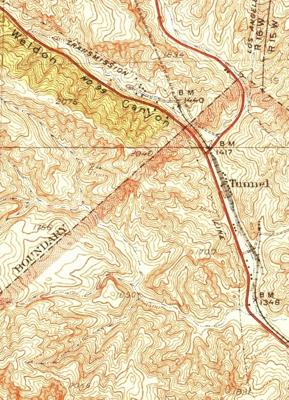
Tunnel Station on 1933 Newhall topo map, United States Geological Survey. The is a bridge now and the road is on the same side of the tracks that it is today. The road to Weldon Canyon Park is still shown and the new Highway 99 (opened in 1930) is there.

Tunnel Station on 1952 Oat Mountain topo map, United States Geological Survey. Foothill Blvd. now reaches San Fernando Road (today's Sierra Highway). The road to the Arthur Weldon property is now an exit off of Highway 99.
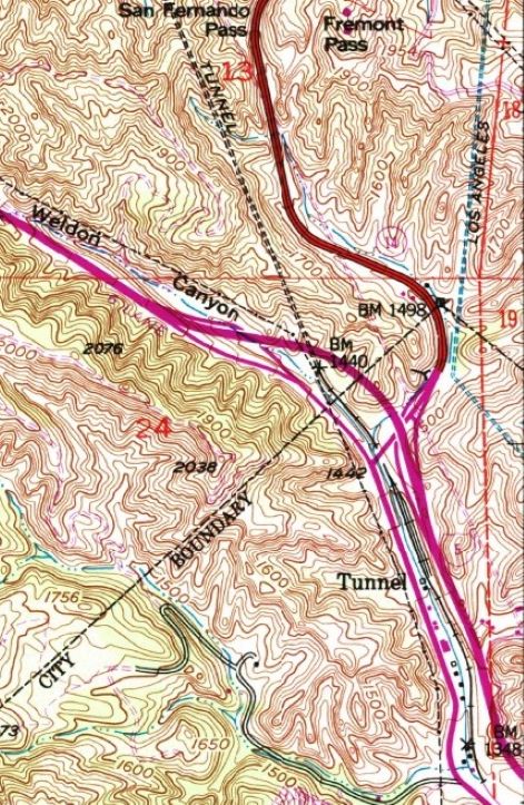
1969 revision of 1952 Oat Mountain topo map. Golden State Freeway up Weldon Canyon has been built.
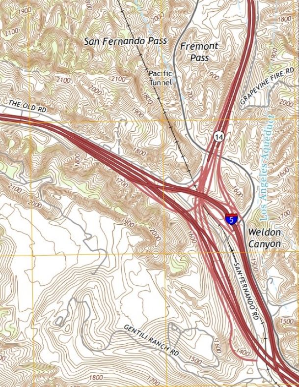
2018 Oat Mountain topo map. Now there is a 14 freeway going north. The Golden State Freeway is called the 5. Tunnel Station is no longer indicated. The Weldon Canyon designation should be more to the left (west).